UN/LOCODE hub · Norway
NOBAF

Balsfjord

69.2333°, 19.2333°
1
Transport functions

Transport Functions

Port
UN/LOCODE

Hub Profile

Place type
Populated place
GeoNames
Region
Troms
GeoNames
Time zone
Europe/Oslo
GeoNames

Location

Location of NOBAF
Natural Earth 10m (public domain) · Troms · NOBAF · 69.23, 19.23GoogleOSMYandex

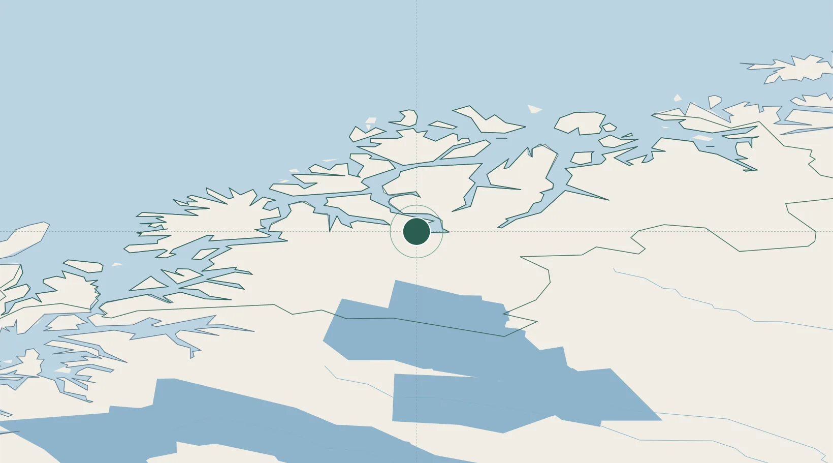
Nearby Logistics Neighbours

Cities
  1. 1Nordkjosbotn5 km
  2. 2Oteren27 km
  3. 3Skibotn43 km
  4. 4Finnfjordbotn45 km
  5. 5Sørreisa46 km
Nearest neighbours — logibook spatial index (haversine) over the source coordinates
Ports
  1. 1Olavsvern34 km
  2. 2Gibostad47 km
  3. 3Tromso48 km
  4. 4Finnsnes50 km
  5. 5Sjovegan69 km
Nearest neighbours — logibook spatial index (haversine) over the source coordinates
Airports
  1. 1Bardufoss Airport34 km
  2. 2Tromsø Airport52 km
  3. 3Sørkjosen Airport91 km
  4. 4Andøya Airport, Andenes122 km
  5. 5Harstad/Narvik Airport132 km
Nearest neighbours — logibook spatial index (haversine) over the source coordinates
Trade Zones
  1. 1Oulu Port Free Warehouse Area541 km
  2. 2Turku Free Zone987 km
  3. 3Free Zone of Lappeenranta999 km
  4. 4Port of Hamina-Kotka1038 km
  5. 5Freeport of Hanko1060 km
Nearest neighbours — logibook spatial index (haversine) over the source coordinates
DatabookThe Record of Consolidated Knowledge
Norway beyond logistics?
Browse databook

All Sources

LocationsUN/LOCODE
UN/LOCODE — free
Portsthe NGA World Port Index
Public domain (US gov)
AirportsOurAirports
Public domain
Trade Zonesthe World Bank SEZ database
CC BY 4.0
Trade ZonesOpen Zone Map
CC BY
← Norway locations