Transport Functions
Port
Road
Hub Profile
Region
19
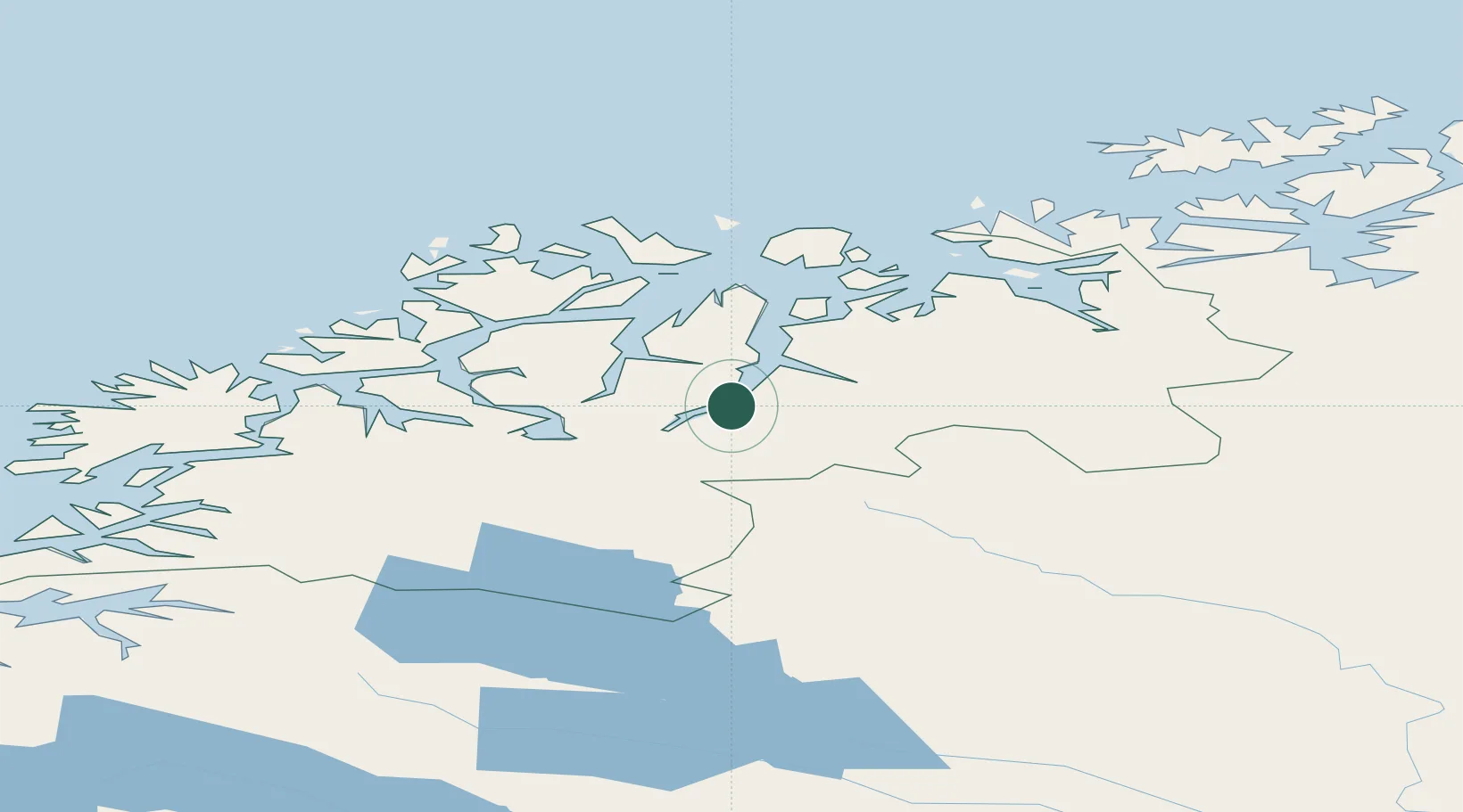
Location
Nearby Logistics Neighbours
Cities
- 1Oteren19 km
- 2Lyngseidet22 km
- 3Olderdalen26 km
- 4Tytebærvika27 km
- 5Jøvik29 km
Airports
- 1Sørkjosen Airport53 km
- 2Tromsø Airport62 km
- 3Bardufoss Airport77 km
- 4Alta Airport137 km
- 5Hasvik Airport142 km
Trade Zones
- 1Murmansk Special Economic Zone509 km
- 2Oulu Port Free Warehouse Area536 km
- 3Free Zone of Lappeenranta996 km
- 4Turku Free Zone998 km
- 5Port of Hamina-Kotka1039 km
DatabookThe Record of Consolidated Knowledge
Norway beyond logistics?