Transport Functions
Port
Road
Hub Profile
Place type
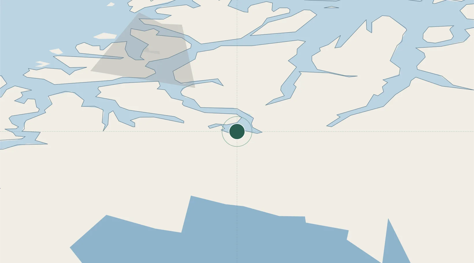
Populated place
Region
Troms
Time zone
Europe/Oslo
Elevation
93 m
Location
Nearby Logistics Neighbours
Cities
- 1Balsfjord5 km
- 2Oteren22 km
- 3Skibotn39 km
- 4Jøvik45 km
- 5Tytebærvika47 km
Airports
- 1Bardufoss Airport38 km
- 2Tromsø Airport53 km
- 3Sørkjosen Airport88 km
- 4Andøya Airport, Andenes127 km
- 5Harstad/Narvik Airport135 km
Trade Zones
- 1Oulu Port Free Warehouse Area539 km
- 2Turku Free Zone986 km
- 3Free Zone of Lappeenranta997 km
- 4Port of Hamina-Kotka1037 km
- 5Freeport of Hanko1059 km
DatabookThe Record of Consolidated Knowledge
Norway beyond logistics?