UN/LOCODE hub · Norway
NOJOV

Jøvik

69.6000°, 19.8167°
1
Transport functions

Transport Functions

Port
UN/LOCODE

Hub Profile

Region
19
GeoNames

Location

Location of NOJOV
Natural Earth 10m (public domain) · 19 · NOJOV · 69.60, 19.82GoogleOSMYandex

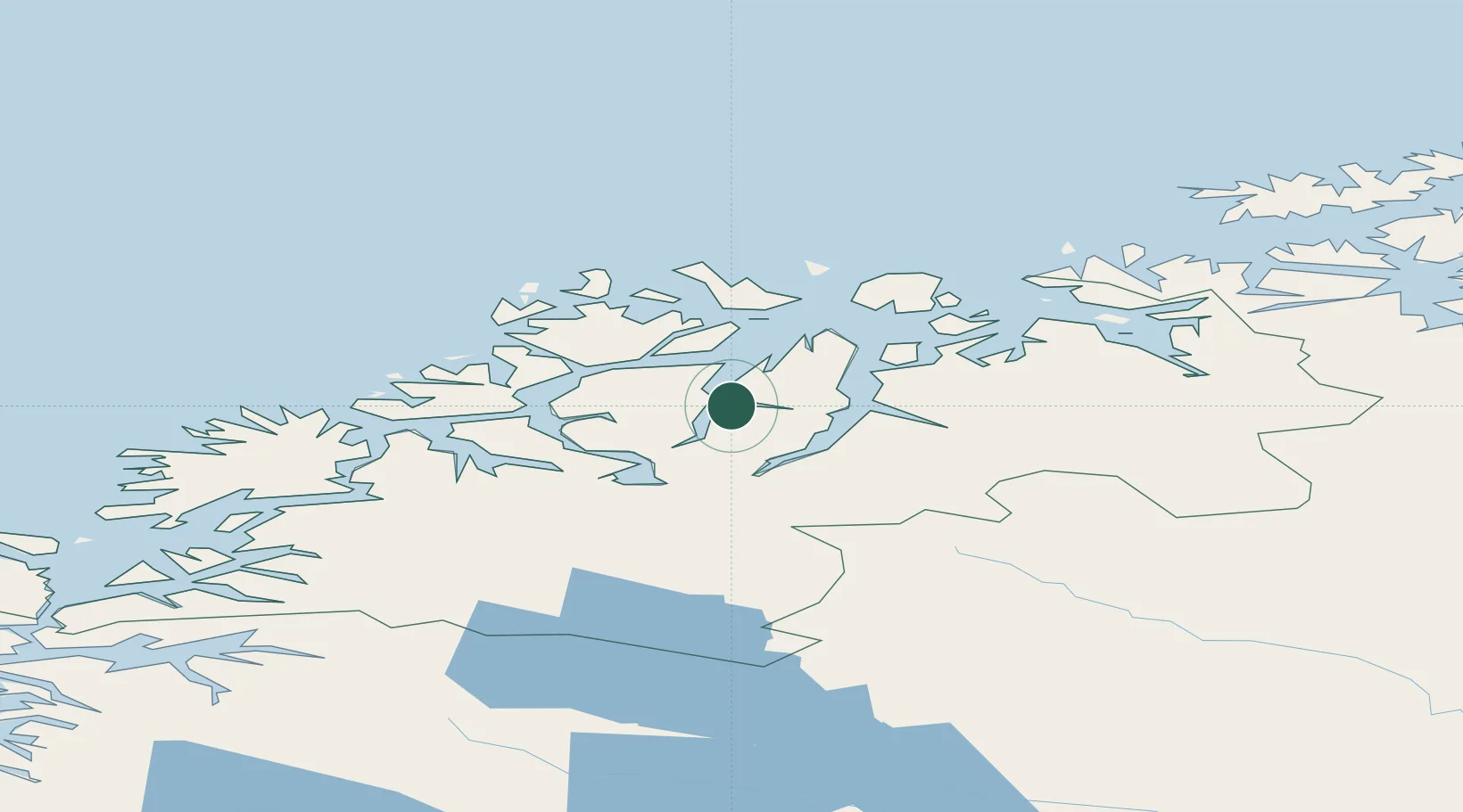
Nearby Logistics Neighbours

Cities
  1. 1Tytebærvika6 km
  2. 2Lyngseidet16 km
  3. 3Oldervik18 km
  4. 4Lenangen Søndre25 km
  5. 5Lenangsøyra25 km
Nearest neighbours — logibook spatial index (haversine) over the source coordinates
Ports
  1. 1Olavsvern33 km
  2. 2Tromso33 km
  3. 3Gibostad73 km
  4. 4Finnsnes83 km
  5. 5Sjovegan113 km
Nearest neighbours — logibook spatial index (haversine) over the source coordinates
Airports
  1. 1Tromsø Airport36 km
  2. 2Sørkjosen Airport49 km
  3. 3Bardufoss Airport79 km
  4. 4Hasvik Airport132 km
  5. 5Alta Airport143 km
Nearest neighbours — logibook spatial index (haversine) over the source coordinates
Trade Zones
  1. 1Oulu Port Free Warehouse Area565 km
  2. 2Turku Free Zone1024 km
  3. 3Free Zone of Lappeenranta1025 km
  4. 4Port of Hamina-Kotka1067 km
  5. 5Freeport of Hanko1096 km
Nearest neighbours — logibook spatial index (haversine) over the source coordinates
DatabookThe Record of Consolidated Knowledge
Norway beyond logistics?
Browse databook

All Sources

LocationsUN/LOCODE
UN/LOCODE — free
Portsthe NGA World Port Index
Public domain (US gov)
AirportsOurAirports
Public domain
Trade Zonesthe World Bank SEZ database
CC BY 4.0
Trade ZonesOpen Zone Map
CC BY
← Norway locations