UN/LOCODE hub · Norway
NOTYT

Tytebærvika

69.6000°, 19.9667°
1
Transport functions

Transport Functions

Port
UN/LOCODE

Hub Profile

Region
19
GeoNames

Location

Location of NOTYT
Natural Earth 10m (public domain) · 19 · NOTYT · 69.60, 19.97GoogleOSMYandex

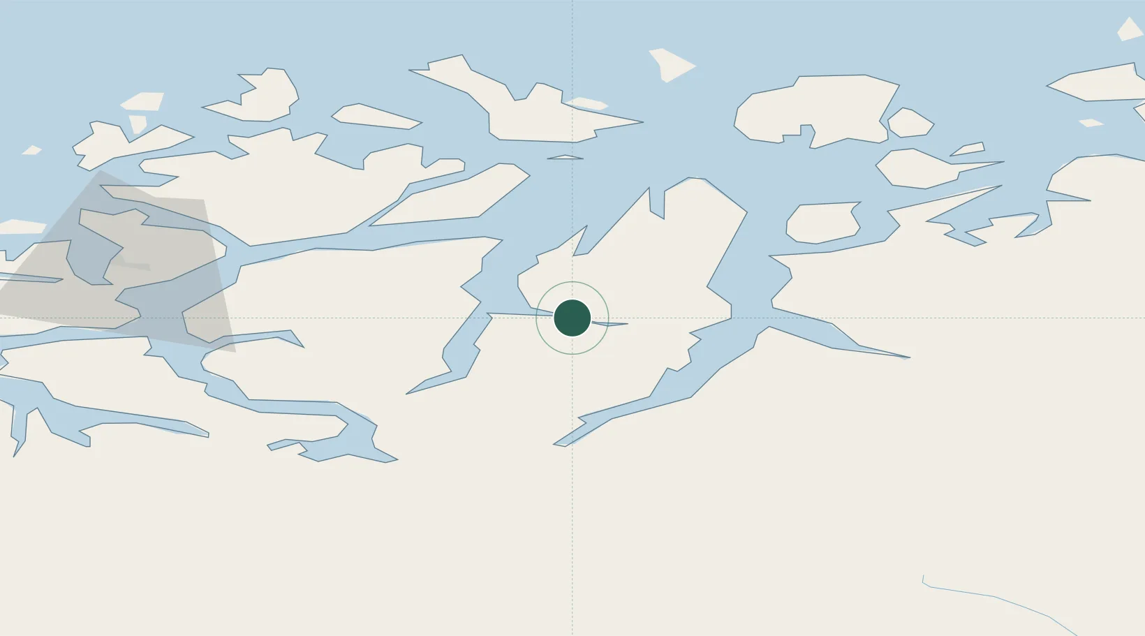
Nearby Logistics Neighbours

Cities
  1. 1Jøvik6 km
  2. 2Lyngseidet10 km
  3. 3Oldervik20 km
  4. 4Olderdalen21 km
  5. 5Lenangen Søndre24 km
Nearest neighbours — logibook spatial index (haversine) over the source coordinates
Ports
  1. 1Olavsvern38 km
  2. 2Tromso39 km
  3. 3Gibostad78 km
  4. 4Finnsnes88 km
  5. 5Oksfjord115 km
Nearest neighbours — logibook spatial index (haversine) over the source coordinates
Airports
  1. 1Tromsø Airport42 km
  2. 2Sørkjosen Airport44 km
  3. 3Bardufoss Airport82 km
  4. 4Hasvik Airport129 km
  5. 5Alta Airport137 km
Nearest neighbours — logibook spatial index (haversine) over the source coordinates
Trade Zones
  1. 1Oulu Port Free Warehouse Area562 km
  2. 2Free Zone of Lappeenranta1022 km
  3. 3Turku Free Zone1023 km
  4. 4Port of Hamina-Kotka1065 km
  5. 5Freeport of Hanko1095 km
Nearest neighbours — logibook spatial index (haversine) over the source coordinates
DatabookThe Record of Consolidated Knowledge
Norway beyond logistics?
Browse databook

All Sources

LocationsUN/LOCODE
UN/LOCODE — free
Portsthe NGA World Port Index
Public domain (US gov)
AirportsOurAirports
Public domain
Trade Zonesthe World Bank SEZ database
CC BY 4.0
Trade ZonesOpen Zone Map
CC BY
← Norway locations