UN/LOCODE hub · Norway
NOSJH

Senjahopen

69.5000°, 17.4833°
2
Transport functions

Transport Functions

Port
Road
UN/LOCODE

Hub Profile

Place type
Populated place
GeoNames
Region
Troms
GeoNames
Time zone
Europe/Oslo
GeoNames
Elevation
1 m
GeoNames

Location

Location of NOSJH
Natural Earth 10m (public domain) · Troms · NOSJH · 69.50, 17.48GoogleOSMYandex

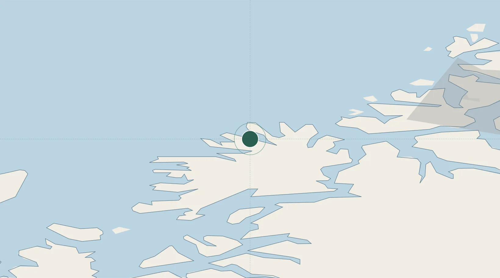
Nearby Logistics Neighbours

Cities
  1. 1Husøy - Lenvik8 km
  2. 2Skaland9 km
  3. 3Botnhamn16 km
  4. 4Gryllefjord22 km
  5. 5Torsken24 km
Nearest neighbours — logibook spatial index (haversine) over the source coordinates
Ports
  1. 1Gibostad28 km
  2. 2Finnsnes35 km
  3. 3Andenes56 km
  4. 4Olavsvern59 km
  5. 5Tromso60 km
Nearest neighbours — logibook spatial index (haversine) over the source coordinates
Airports
  1. 1Andøya Airport, Andenes57 km
  2. 2Tromsø Airport59 km
  3. 3Bardufoss Airport65 km
  4. 4Harstad/Narvik Airport117 km
  5. 5Sørkjosen Airport138 km
Nearest neighbours — logibook spatial index (haversine) over the source coordinates
Trade Zones
  1. 1Oulu Port Free Warehouse Area605 km
  2. 2Turku Free Zone1031 km
  3. 3Free Zone of Lappeenranta1059 km
  4. 4Port of Hamina-Kotka1095 km
  5. 5Freeport of Hanko1105 km
Nearest neighbours — logibook spatial index (haversine) over the source coordinates
DatabookThe Record of Consolidated Knowledge
Norway beyond logistics?
Browse databook

All Sources

LocationsUN/LOCODE
UN/LOCODE — free
Portsthe NGA World Port Index
Public domain (US gov)
AirportsOurAirports
Public domain
Trade Zonesthe World Bank SEZ database
CC BY 4.0
Trade ZonesOpen Zone Map
CC BY
← Norway locations