Transport Functions
Port
Road
Hub Profile
Place type
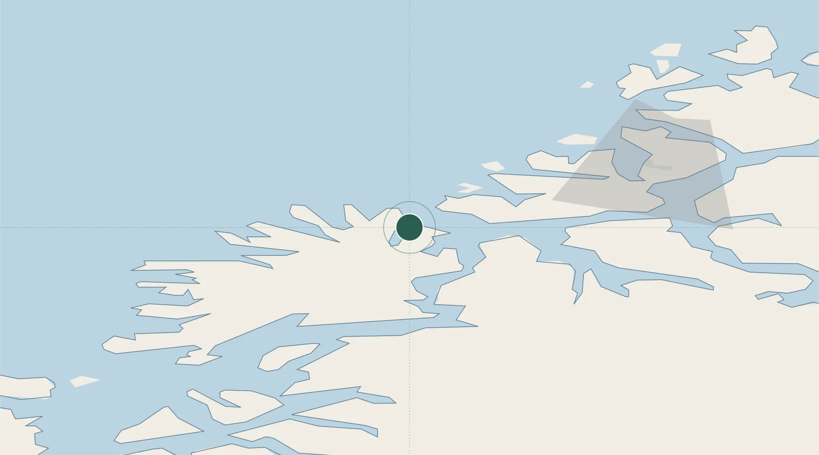
Populated place
Region
Troms
Time zone
Europe/Oslo
Location
Nearby Logistics Neighbours
Cities
- 1Husøy - Lenvik9 km
- 2Brensholmen11 km
- 3Lenvik13 km
- 4Kårvikhamn16 km
- 5Senjahopen16 km
Airports
- 1Tromsø Airport44 km
- 2Bardufoss Airport57 km
- 3Andøya Airport, Andenes73 km
- 4Sørkjosen Airport122 km
- 5Harstad/Narvik Airport124 km
Trade Zones
- 1Oulu Port Free Warehouse Area597 km
- 2Turku Free Zone1028 km
- 3Free Zone of Lappeenranta1052 km
- 4Port of Hamina-Kotka1089 km
- 5Freeport of Hanko1102 km
DatabookThe Record of Consolidated Knowledge
Norway beyond logistics?