Transport Functions
Port
Hub Profile
Place type
Populated place
Region
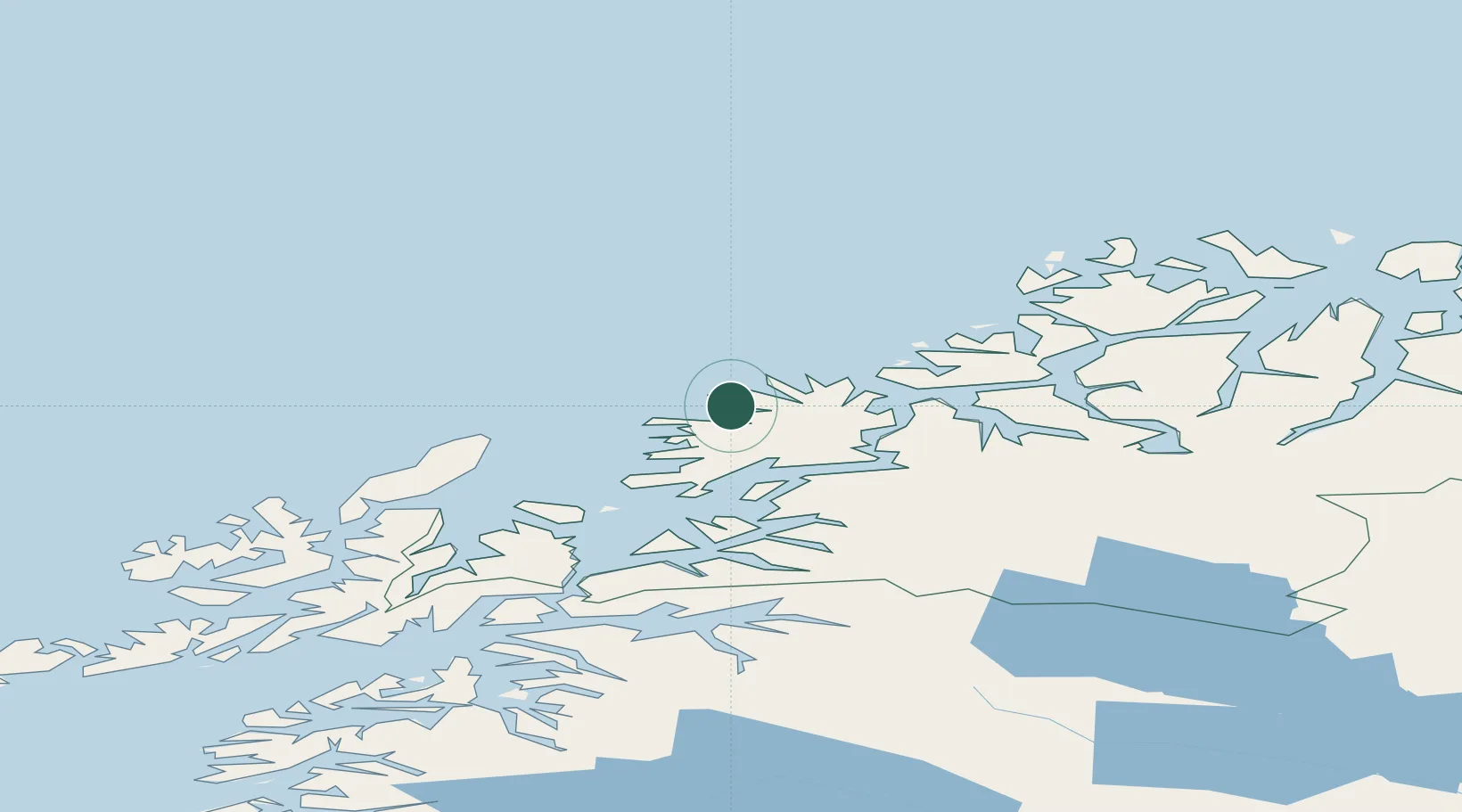
Troms
Time zone
Europe/Oslo
Location
Nearby Logistics Neighbours
Cities
- 1Senjahopen9 km
- 2Gryllefjord13 km
- 3Torsken15 km
- 4Husøy - Lenvik17 km
- 5Botnhamn25 km
Airports
- 1Andøya Airport, Andenes49 km
- 2Bardufoss Airport66 km
- 3Tromsø Airport68 km
- 4Harstad/Narvik Airport110 km
- 5Stokmarknes Airport, Skagen132 km
Trade Zones
- 1Oulu Port Free Warehouse Area605 km
- 2Turku Free Zone1027 km
- 3Free Zone of Lappeenranta1058 km
- 4Port of Hamina-Kotka1094 km
- 5Freeport of Hanko1101 km
DatabookThe Record of Consolidated Knowledge
Norway beyond logistics?