UN/LOCODE hub · Norway
NOHSS

Husøy - Lenvik

69.5333°, 17.6667°
1
Transport functions

Transport Functions

Port
UN/LOCODE

Hub Profile

Region
19
GeoNames

Location

Location of NOHSS
Natural Earth 10m (public domain) · 19 · NOHSS · 69.53, 17.67GoogleOSMYandex

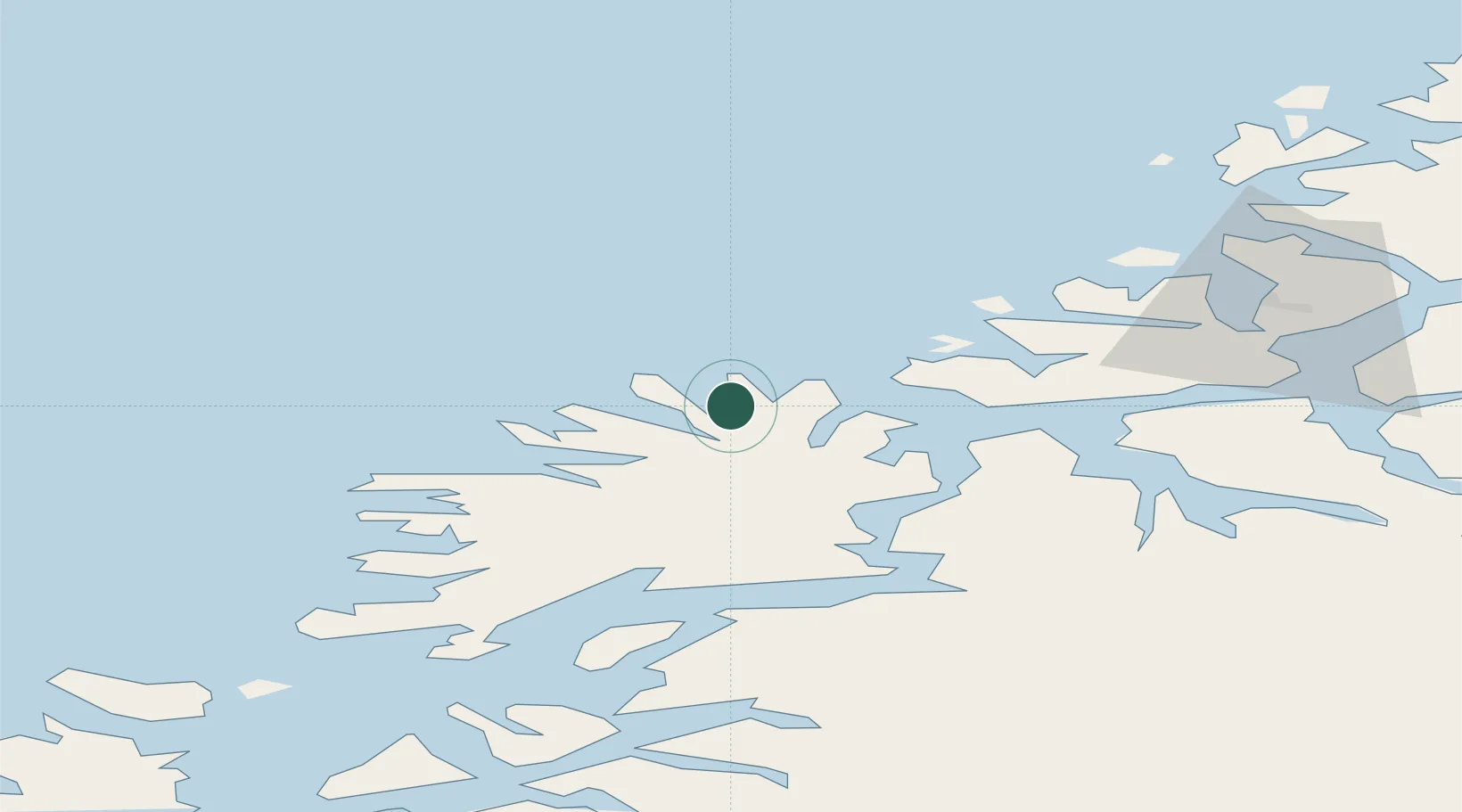
Nearby Logistics Neighbours

Cities
  1. 1Senjahopen8 km
  2. 2Botnhamn9 km
  3. 3Brensholmen16 km
  4. 4Skaland17 km
  5. 5Lenvik22 km
Nearest neighbours — logibook spatial index (haversine) over the source coordinates
Ports
  1. 1Gibostad26 km
  2. 2Finnsnes35 km
  3. 3Tromso52 km
  4. 4Olavsvern52 km
  5. 5Andenes64 km
Nearest neighbours — logibook spatial index (haversine) over the source coordinates
Airports
  1. 1Tromsø Airport51 km
  2. 2Bardufoss Airport63 km
  3. 3Andøya Airport, Andenes65 km
  4. 4Harstad/Narvik Airport122 km
  5. 5Sørkjosen Airport130 km
Nearest neighbours — logibook spatial index (haversine) over the source coordinates
Trade Zones
  1. 1Oulu Port Free Warehouse Area603 km
  2. 2Turku Free Zone1032 km
  3. 3Free Zone of Lappeenranta1059 km
  4. 4Port of Hamina-Kotka1095 km
  5. 5Freeport of Hanko1106 km
Nearest neighbours — logibook spatial index (haversine) over the source coordinates
DatabookThe Record of Consolidated Knowledge
Norway beyond logistics?
Browse databook

All Sources

LocationsUN/LOCODE
UN/LOCODE — free
Portsthe NGA World Port Index
Public domain (US gov)
AirportsOurAirports
Public domain
Trade Zonesthe World Bank SEZ database
CC BY 4.0
Trade ZonesOpen Zone Map
CC BY
← Norway locations