Transport Functions
Port
Hub Profile
Place type
Populated place
Region
Troms
Population
439
Time zone
Europe/Oslo
Elevation
1 m
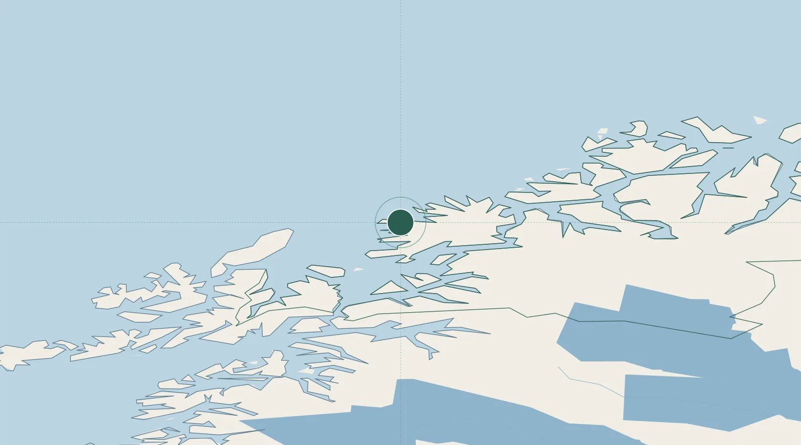
Location
Nearby Logistics Neighbours
Cities
- 1Torsken4 km
- 2Skaland13 km
- 3Senjahopen22 km
- 4Husøy - Lenvik29 km
- 5Skrolsvik35 km
Airports
- 1Andøya Airport, Andenes38 km
- 2Bardufoss Airport67 km
- 3Tromsø Airport80 km
- 4Harstad/Narvik Airport99 km
- 5Stokmarknes Airport, Skagen120 km
Trade Zones
- 1Oulu Port Free Warehouse Area603 km
- 2Turku Free Zone1020 km
- 3Free Zone of Lappeenranta1055 km
- 4Port of Hamina-Kotka1090 km
- 5Freeport of Hanko1095 km
DatabookThe Record of Consolidated Knowledge
Norway beyond logistics?