Transport Functions
Port
Hub Profile
Place type
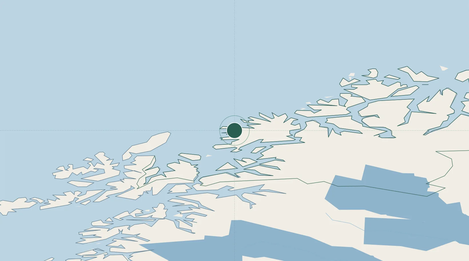
Populated place
Region
Troms
Population
208
Time zone
Europe/Oslo
Location
Nearby Logistics Neighbours
Cities
- 1Gryllefjord4 km
- 2Skaland15 km
- 3Senjahopen24 km
- 4Husøy - Lenvik31 km
- 5Skrolsvik32 km
Airports
- 1Andøya Airport, Andenes38 km
- 2Bardufoss Airport65 km
- 3Tromsø Airport81 km
- 4Harstad/Narvik Airport95 km
- 5Stokmarknes Airport, Skagen118 km
Trade Zones
- 1Oulu Port Free Warehouse Area600 km
- 2Turku Free Zone1017 km
- 3Free Zone of Lappeenranta1052 km
- 4Port of Hamina-Kotka1086 km
- 5Freeport of Hanko1091 km
DatabookThe Record of Consolidated Knowledge
Norway beyond logistics?