UN/LOCODE hub · Norway
NOTRN

Træna

66.5000°, 12.1000°
1
Transport functions

Transport Functions

Port
UN/LOCODE

Hub Profile

Region
18
GeoNames

Location

Location of NOTRN
Natural Earth 10m (public domain) · 18 · NOTRN · 66.50, 12.10GoogleOSMYandex

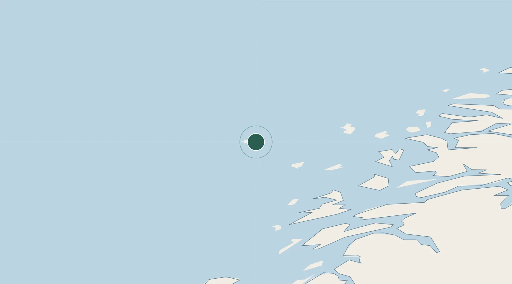
Nearby Logistics Neighbours

Cities
  1. 1Lovund20 km
  2. 2Lurøy34 km
  3. 3Tonnes40 km
  4. 4Stokkvågen44 km
  5. 5Vikholmen51 km
Nearest neighbours — logibook spatial index (haversine) over the source coordinates
Ports
  1. 1Nesna53 km
  2. 2Sandnessjoen58 km
  3. 3Hemnesberget74 km
  4. 4Tjotta77 km
  5. 5Ornes82 km
Nearest neighbours — logibook spatial index (haversine) over the source coordinates
Airports
  1. 1Sandnessjøen Airport, Stokka63 km
  2. 2Mosjøen Airport, Kjærstad94 km
  3. 3Mo i Rana Airport, Røssvoll99 km
  4. 4Røst Airport114 km
  5. 5Brønnøysund Airport, Brønnøy116 km
Nearest neighbours — logibook spatial index (haversine) over the source coordinates
Trade Zones
  1. 1Oulu Port Free Warehouse Area629 km
  2. 2Turku Free Zone838 km
  3. 3Stockholm Free Zone851 km
  4. 4Freeport of Hanko916 km
  5. 5Jönköping Free Zone977 km
Nearest neighbours — logibook spatial index (haversine) over the source coordinates
DatabookThe Record of Consolidated Knowledge
Norway beyond logistics?
Browse databook

All Sources

LocationsUN/LOCODE
UN/LOCODE — free
Portsthe NGA World Port Index
Public domain (US gov)
AirportsOurAirports
Public domain
Trade Zonesthe World Bank SEZ database
CC BY 4.0
Trade ZonesOpen Zone Map
CC BY
← Norway locations