UN/LOCODE hub · Norway
NOAFS

Anfinnsletta

68.3333°, 15.4333°
1
Transport functions

Transport Functions

Port
UN/LOCODE

Hub Profile

Region
18
GeoNames

Location

Location of NOAFS
Natural Earth 10m (public domain) · 18 · NOAFS · 68.33, 15.43GoogleOSMYandex

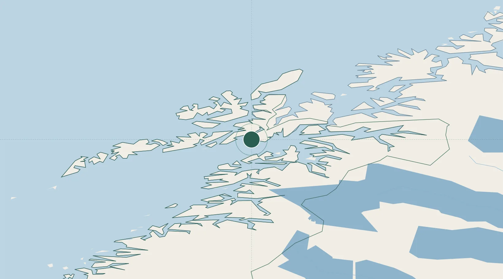
Nearby Logistics Neighbours

Cities
  1. 1Lødingen24 km
  2. 2Brettesnes26 km
  3. 3Fiskebøl28 km
  4. 4Liland28 km
  5. 5Bognes29 km
Nearest neighbours — logibook spatial index (haversine) over the source coordinates
Ports
  1. 1Tranoy20 km
  2. 2Lodingen25 km
  3. 3Brettesnes27 km
  4. 4Stokkmarknes33 km
  5. 5Svolvaer37 km
Nearest neighbours — logibook spatial index (haversine) over the source coordinates
Airports
  1. 1Stokmarknes Airport, Skagen32 km
  2. 2Svolvær Airport, Helle33 km
  3. 3Harstad/Narvik Airport54 km
  4. 4Leknes Airport78 km
  5. 5Andøya Airport, Andenes111 km
Nearest neighbours — logibook spatial index (haversine) over the source coordinates
Trade Zones
  1. 1Oulu Port Free Warehouse Area574 km
  2. 2Turku Free Zone935 km
  3. 3Stockholm Free Zone1007 km
  4. 4Freeport of Hanko1011 km
  5. 5Port of Hamina-Kotka1031 km
Nearest neighbours — logibook spatial index (haversine) over the source coordinates
DatabookThe Record of Consolidated Knowledge
Norway beyond logistics?
Browse databook

All Sources

LocationsUN/LOCODE
UN/LOCODE — free
Portsthe NGA World Port Index
Public domain (US gov)
AirportsOurAirports
Public domain
Trade Zonesthe World Bank SEZ database
CC BY 4.0
Trade ZonesOpen Zone Map
CC BY
← Norway locations