UN/LOCODE hub · Norway
NOBRH

Brensholmen

69.6000°, 18.0333°
1
Transport functions

Transport Functions

Port
UN/LOCODE

Hub Profile

Region
19
GeoNames

Location

Location of NOBRH
Natural Earth 10m (public domain) · 19 · NOBRH · 69.60, 18.03GoogleOSMYandex

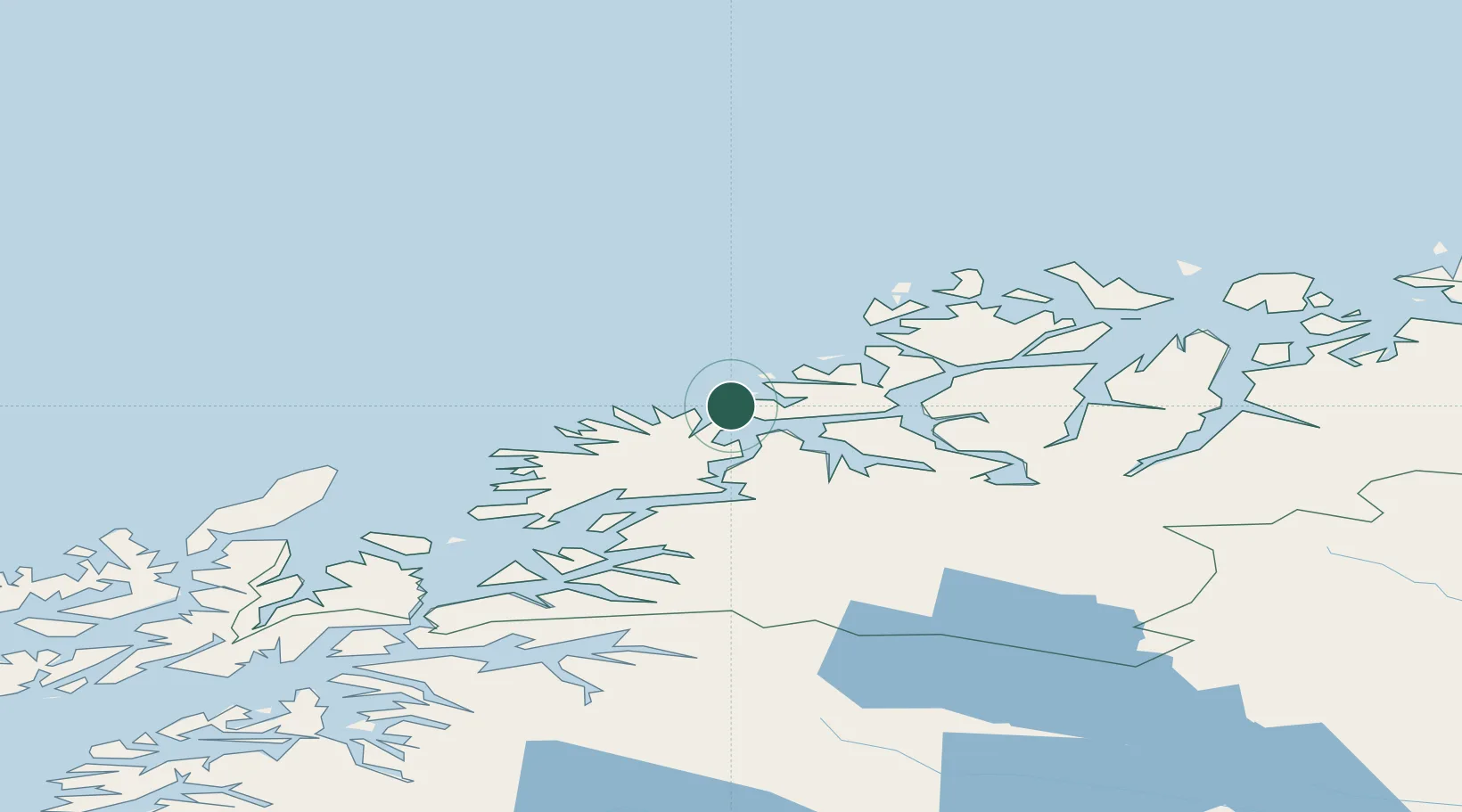
Nearby Logistics Neighbours

Cities
  1. 1Botnhamn11 km
  2. 2Husøy - Lenvik16 km
  3. 3Lenvik19 km
  4. 4Kårvikhamn23 km
  5. 5Senjahopen24 km
Nearest neighbours — logibook spatial index (haversine) over the source coordinates
Ports
  1. 1Gibostad27 km
  2. 2Tromso37 km
  3. 3Olavsvern39 km
  4. 4Finnsnes41 km
  5. 5Andenes80 km
Nearest neighbours — logibook spatial index (haversine) over the source coordinates
Airports
  1. 1Tromsø Airport36 km
  2. 2Bardufoss Airport64 km
  3. 3Andøya Airport, Andenes81 km
  4. 4Sørkjosen Airport115 km
  5. 5Harstad/Narvik Airport135 km
Nearest neighbours — logibook spatial index (haversine) over the source coordinates
Trade Zones
  1. 1Oulu Port Free Warehouse Area601 km
  2. 2Turku Free Zone1036 km
  3. 3Free Zone of Lappeenranta1057 km
  4. 4Port of Hamina-Kotka1095 km
  5. 5Freeport of Hanko1110 km
Nearest neighbours — logibook spatial index (haversine) over the source coordinates
DatabookThe Record of Consolidated Knowledge
Norway beyond logistics?
Browse databook

All Sources

LocationsUN/LOCODE
UN/LOCODE — free
Portsthe NGA World Port Index
Public domain (US gov)
AirportsOurAirports
Public domain
Trade Zonesthe World Bank SEZ database
CC BY 4.0
Trade ZonesOpen Zone Map
CC BY
← Norway locations