Transport Functions
Port
Hub Profile
Place type
Populated place
Region
Troms
Time zone
Europe/Oslo
Elevation
67 m
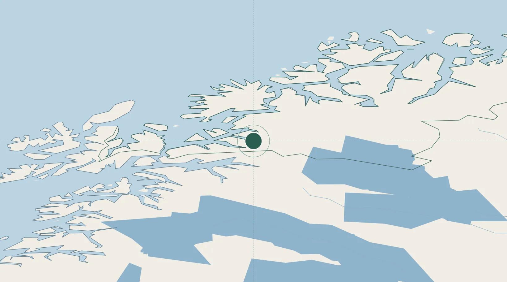
Location
Nearby Logistics Neighbours
Cities
- 1Salangen13 km
- 2Sjøvegan15 km
- 3Salangsverket17 km
- 4Fornes18 km
- 5Bjerkvik24 km
Ports
- 1Sjovegan14 km
- 2Narvik40 km
- 3Lilandsgrunnen47 km
- 4Harstad50 km
- 5Finnsnes54 km
Airports
- 1Bardufoss Airport46 km
- 2Harstad/Narvik Airport53 km
- 3Andøya Airport, Andenes89 km
- 4Stokmarknes Airport, Skagen113 km
- 5Tromsø Airport113 km
Trade Zones
- 1Oulu Port Free Warehouse Area533 km
- 2Turku Free Zone947 km
- 3Free Zone of Lappeenranta983 km
- 4Port of Hamina-Kotka1017 km
- 5Freeport of Hanko1021 km
DatabookThe Record of Consolidated Knowledge
Norway beyond logistics?