Transport Functions
Port
Road
Hub Profile
Region
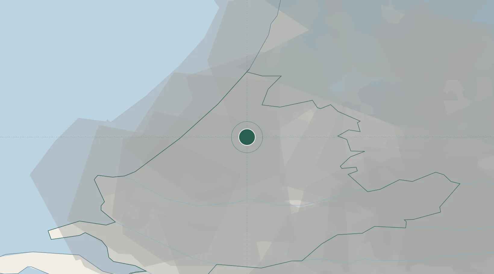
ZH
Location
Nearby Logistics Neighbours
Cities
- 1Stompwijk3 km
- 2Groenendijk5 km
- 3Hoogmade8 km
- 4Oud Ade8 km
- 5Katwijk aan den Rijn11 km
Ports
- 1Scheveningen16 km
- 2Rotterdam24 km
- 3Schiedam25 km
- 4Vlaardingen26 km
- 5Maassluis28 km
Airports
- 1Rotterdam The Hague Airport18 km
- 2Amsterdam Airport Schiphol28 km
- 3Gilze Rijen Air Base68 km
- 4Woensdrecht Air Base75 km
- 5Lelystad Airport79 km
Trade Zones
- 1Freeport of Duisburg162 km
- 2ZFU Tourcoing181 km
- 3ZFU Hem et Roubaix184 km
- 4Rheinische Revier SWZ187 km
- 5ZFU Saint Pol sur Mer192 km
DatabookThe Record of Consolidated Knowledge
Netherlands beyond logistics?