Transport Functions
Rail
Road
Hub Profile
Place type
Populated place
Region
Flanders
Time zone
Europe/Brussels
Elevation
4 m
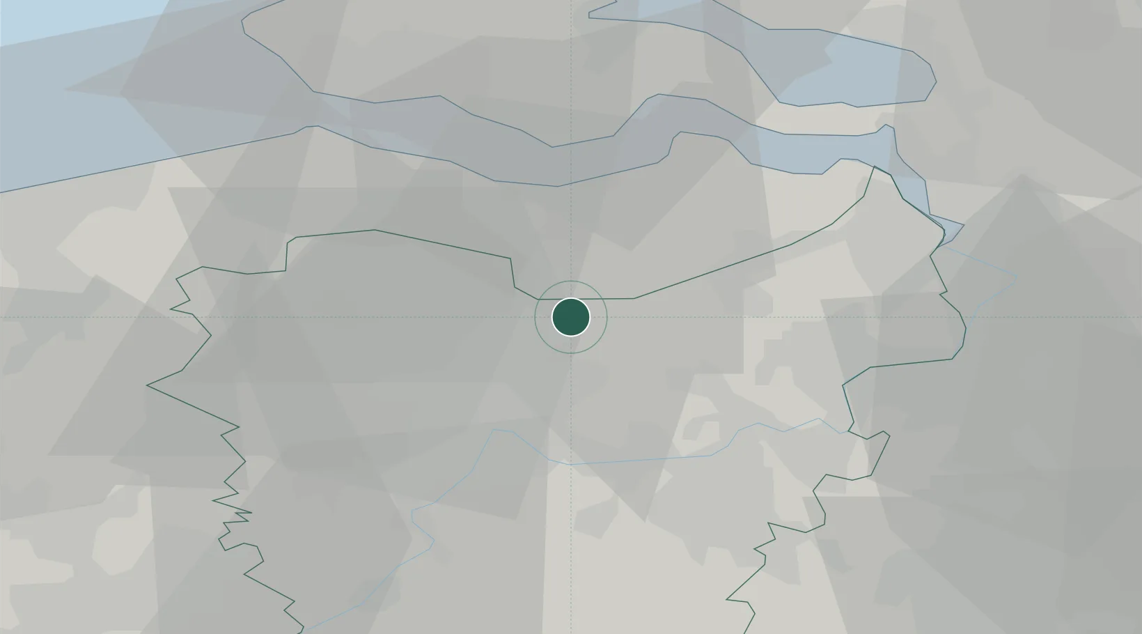
Location
Nearby Logistics Neighbours
Cities
- 1Zelzate3 km
- 2Rieme5 km
- 3Terdonk6 km
- 4Moerbeke-Waas6 km
- 5Zuiddorpe7 km
Ports
- 1Ghent15 km
- 2Terneuzen19 km
- 3Hansweert31 km
- 4Vlissingen34 km
- 5Antwerpen39 km
Airports
Trade Zones
DatabookThe Record of Consolidated Knowledge
Belgium beyond logistics?