Transport Functions
Port
Road
Hub Profile
Region
VOV
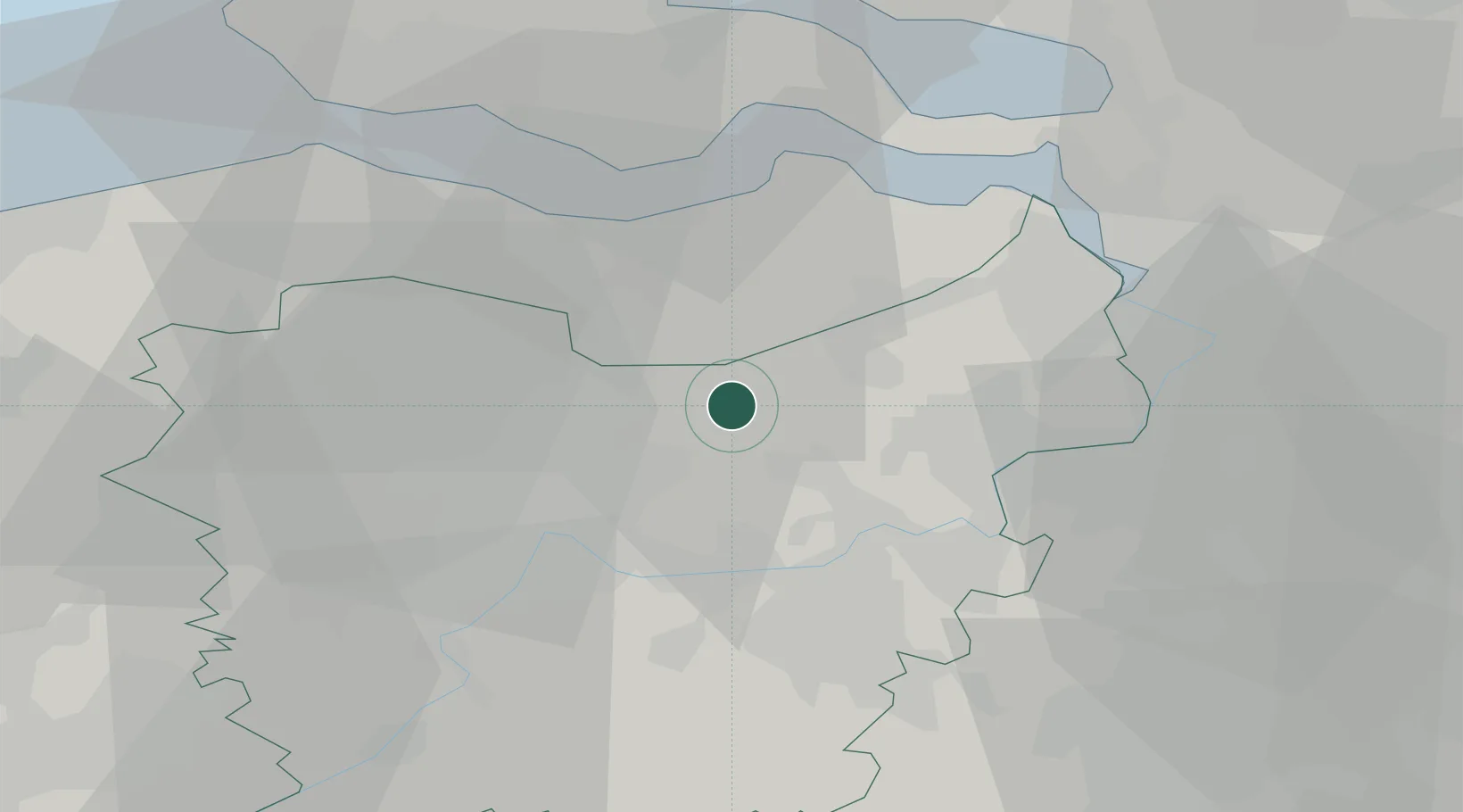
Location
Nearby Logistics Neighbours
Ports
- 1Ghent18 km
- 2Terneuzen22 km
- 3Hansweert32 km
- 4Antwerpen33 km
- 5Vlissingen39 km
Airports
Trade Zones
- 1ZFU Tourcoing73 km
- 2ZFU Hem et Roubaix76 km
- 3ZFU Condé sur lEscaut82 km
- 4ZFU de Lille et de Loos88 km
- 5ZFU Maubeuge, Louvroil101 km
DatabookThe Record of Consolidated Knowledge
Belgium beyond logistics?