Transport Functions
Port
Road
Multimodal
Hub Profile
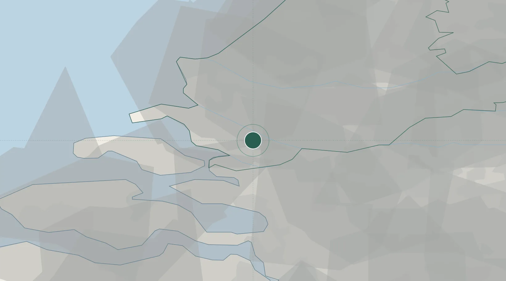
Place type
Populated place
Region
South Holland
Time zone
Europe/Amsterdam
Elevation
0 m
Location
Nearby Logistics Neighbours
Cities
- 1Volkerak8 km
- 2Ooltgensplaat9 km
- 3Hekelingen11 km
- 4Sirjansland11 km
- 5De Heen13 km
Ports
- 1Vlaardingen20 km
- 2Maassluis20 km
- 3Schiedam21 km
- 4Rotterdam25 km
- 5Hoek Van Holland25 km
Airports
Trade Zones
- 1ZFU Tourcoing136 km
- 2ZFU Hem et Roubaix139 km
- 3ZFU Condé sur lEscaut149 km
- 4ZFU de Lille et de Loos150 km
- 5ZFU Saint Pol sur Mer154 km
DatabookThe Record of Consolidated Knowledge
Netherlands beyond logistics?