Transport Functions
Rail
Road
Airport
Hub Profile
Place type
Regional capital
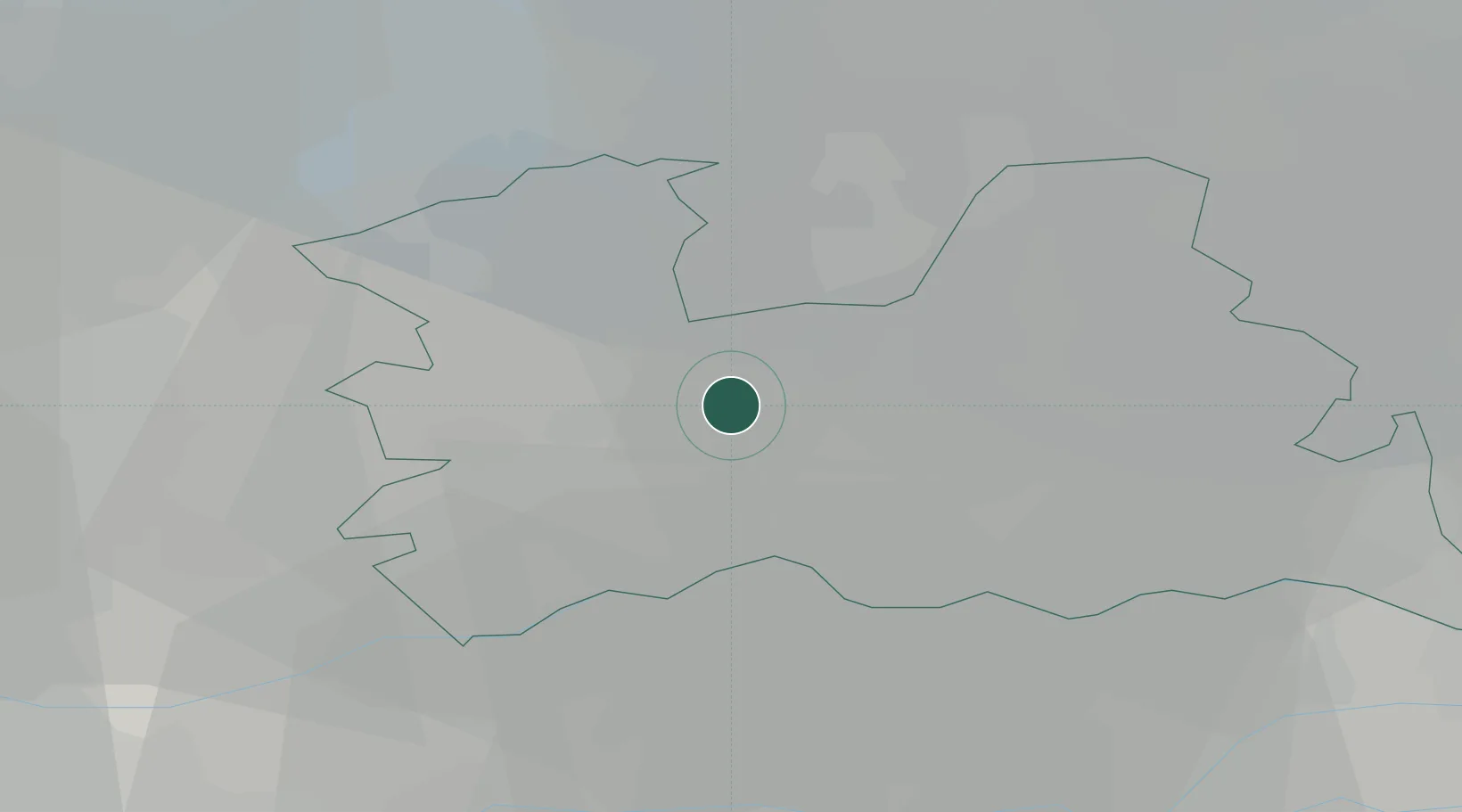
Region
Utrecht
Population
376,435
Time zone
Europe/Amsterdam
Elevation
13 m
Logistics facilities
1
Location
Nearby Logistics Neighbours
Cities
- 1Oud-Zuilen3 km
- 2Oudenrijn3 km
- 3Stadsdam3 km
- 4Haarzuilens5 km
- 5Groenekan5 km
Airports
- 1Amsterdam Airport Schiphol31 km
- 2Rotterdam The Hague Airport47 km
- 3Lelystad Airport49 km
- 4Deelen Air Base55 km
- 5Gilze Rijen Air Base61 km
Trade Zones
- 1Freeport of Duisburg128 km
- 2Rheinische Revier SWZ161 km
- 3Freeport of Emden197 km
- 4ZFU Tourcoing203 km
- 5ZFU Hem et Roubaix206 km
DatabookThe Record of Consolidated Knowledge
Netherlands beyond logistics?