Transport Functions
Port
Rail
Road
Hub Profile
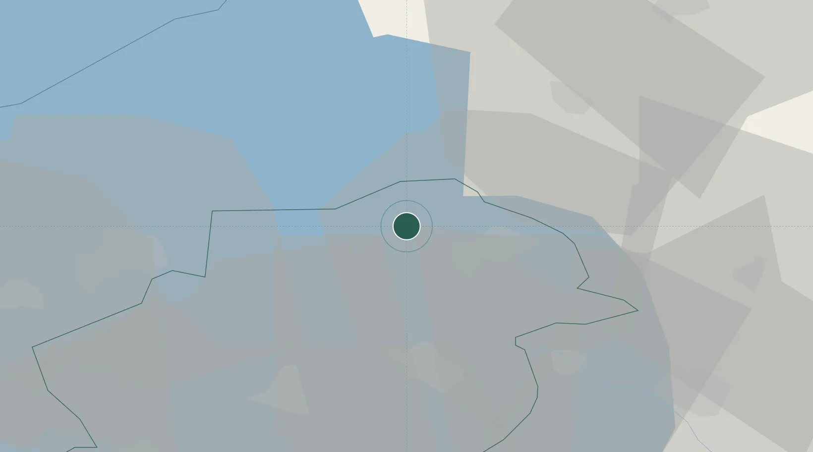
Place type
Populated place
Region
Flevoland
Population
1,695
Time zone
Europe/Amsterdam
Elevation
-2 m
Location
Nearby Logistics Neighbours
Cities
- 1Rutten4 km
- 2Bant6 km
- 3Tollebeek9 km
- 4Schoterzijl11 km
- 5Slijkenburg14 km
Ports
- 1Harlingen49 km
- 2Den Helder63 km
- 3Zaandam67 km
- 4Amsterdam68 km
- 5Ijmuiden80 km
Airports
Trade Zones
DatabookThe Record of Consolidated Knowledge
Netherlands beyond logistics?