UN/LOCODE hub · Netherlands
NLBAN

Bant

52.7667°, 5.7500°
1,665
Population
2
Transport functions

Transport Functions

Port
Road
UN/LOCODE

Hub Profile

Place type
Populated place
GeoNames
Region
Flevoland
GeoNames
Population
1,665
GeoNames
Time zone
Europe/Amsterdam
GeoNames
Elevation
-2 m
GeoNames

Location

Location of NLBAN
Natural Earth 10m (public domain) · Flevoland · NLBAN · 52.77, 5.75GoogleOSMYandex

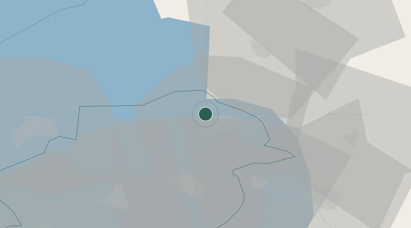
Nearby Logistics Neighbours

Cities
  1. 1Rutten5 km
  2. 2Creil6 km
  3. 3Schoterzijl7 km
  4. 4Slijkenburg9 km
  5. 5Tollebeek10 km
Nearest neighbours — logibook spatial index (haversine) over the source coordinates
Ports
  1. 1Harlingen51 km
  2. 2Den Helder69 km
  3. 3Zaandam72 km
  4. 4Amsterdam73 km
  5. 5Ijmuiden86 km
Nearest neighbours — logibook spatial index (haversine) over the source coordinates
Airports
  1. 1Lelystad Airport38 km
  2. 2Leeuwarden Air Base51 km
  3. 3De Kooy Airfield / Den Helder Naval Air Station67 km
  4. 4Groningen Airport Eelde68 km
  5. 5Deelen Air Base79 km
Nearest neighbours — logibook spatial index (haversine) over the source coordinates
Trade Zones
  1. 1Freeport of Emden115 km
  2. 2Freeport of Duisburg158 km
  3. 3Freeport of Bremerhaven (Freihafen Bremerhaven)206 km
  4. 4Rheinische Revier SWZ211 km
  5. 5Freeport of Cuxhaven (Freihafen Cuxhaven)221 km
Nearest neighbours — logibook spatial index (haversine) over the source coordinates
DatabookThe Record of Consolidated Knowledge
Netherlands beyond logistics?
Browse databook

All Sources

LocationsUN/LOCODE
UN/LOCODE — free
LocationsGeoNames
CC BY 4.0
Portsthe NGA World Port Index
Public domain (US gov)
AirportsOurAirports
Public domain
Trade Zonesthe World Bank SEZ database
CC BY 4.0
Trade ZonesOpen Zone Map
CC BY
← Netherlands locations