Transport Functions
Port
Road
Multimodal
Hub Profile
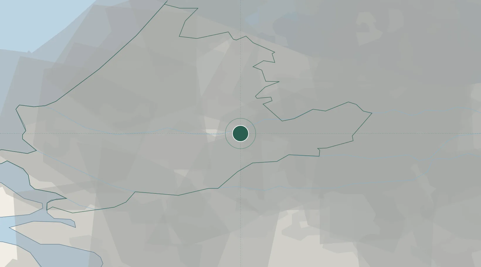
Place type
Populated place
Region
South Holland
Time zone
Europe/Amsterdam
Elevation
-1 m
Location
Nearby Logistics Neighbours
Cities
- 1Groot-Ammers5 km
- 2Oud-Alblas7 km
- 3Papendrecht8 km
- 4Ouderkerk aan den IJssel9 km
- 5Ridderkerk9 km
Ports
- 1Dordrecht12 km
- 2Rotterdam18 km
- 3Schiedam24 km
- 4Vlaardingen27 km
- 5Maassluis34 km
Airports
- 1Rotterdam The Hague Airport22 km
- 2Gilze Rijen Air Base39 km
- 3Amsterdam Airport Schiphol45 km
- 4Woensdrecht Air Base58 km
- 5Eindhoven Airport66 km
Trade Zones
- 1Freeport of Duisburg136 km
- 2Rheinische Revier SWZ158 km
- 3ZFU Tourcoing171 km
- 4ZFU Hem et Roubaix174 km
- 5ZFU Condé sur lEscaut179 km
DatabookThe Record of Consolidated Knowledge
Netherlands beyond logistics?