Transport Functions
Port
Road
Hub Profile
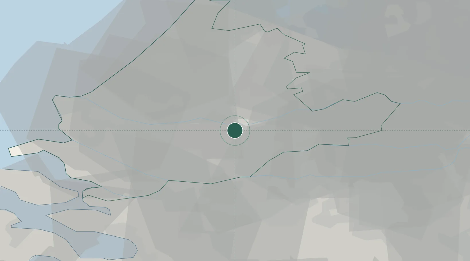
Place type
Populated place
Region
South Holland
Population
45,189
Time zone
Europe/Amsterdam
Elevation
0 m
Logistics facilities
1
Location
Nearby Logistics Neighbours
Cities
- 1Hendrik-Ido-Ambacht3 km
- 2Papendrecht5 km
- 3Krimpen aan den IJssel5 km
- 4Oud-Alblas6 km
- 5Ouderkerk aan den IJssel6 km
Ports
- 1Dordrecht7 km
- 2Rotterdam10 km
- 3Schiedam16 km
- 4Vlaardingen19 km
- 5Maassluis26 km
Airports
- 1Rotterdam The Hague Airport16 km
- 2Gilze Rijen Air Base40 km
- 3Amsterdam Airport Schiphol49 km
- 4Woensdrecht Air Base51 km
- 5Eindhoven Airport70 km
Trade Zones
- 1Freeport of Duisburg144 km
- 2Rheinische Revier SWZ162 km
- 3ZFU Tourcoing164 km
- 4ZFU Hem et Roubaix167 km
- 5ZFU Condé sur lEscaut173 km
DatabookThe Record of Consolidated Knowledge
Netherlands beyond logistics?