Transport Functions
Port
Multimodal
Hub Profile
Place type
Populated place
Region
South Holland
Time zone
Europe/Amsterdam
Elevation
1 m
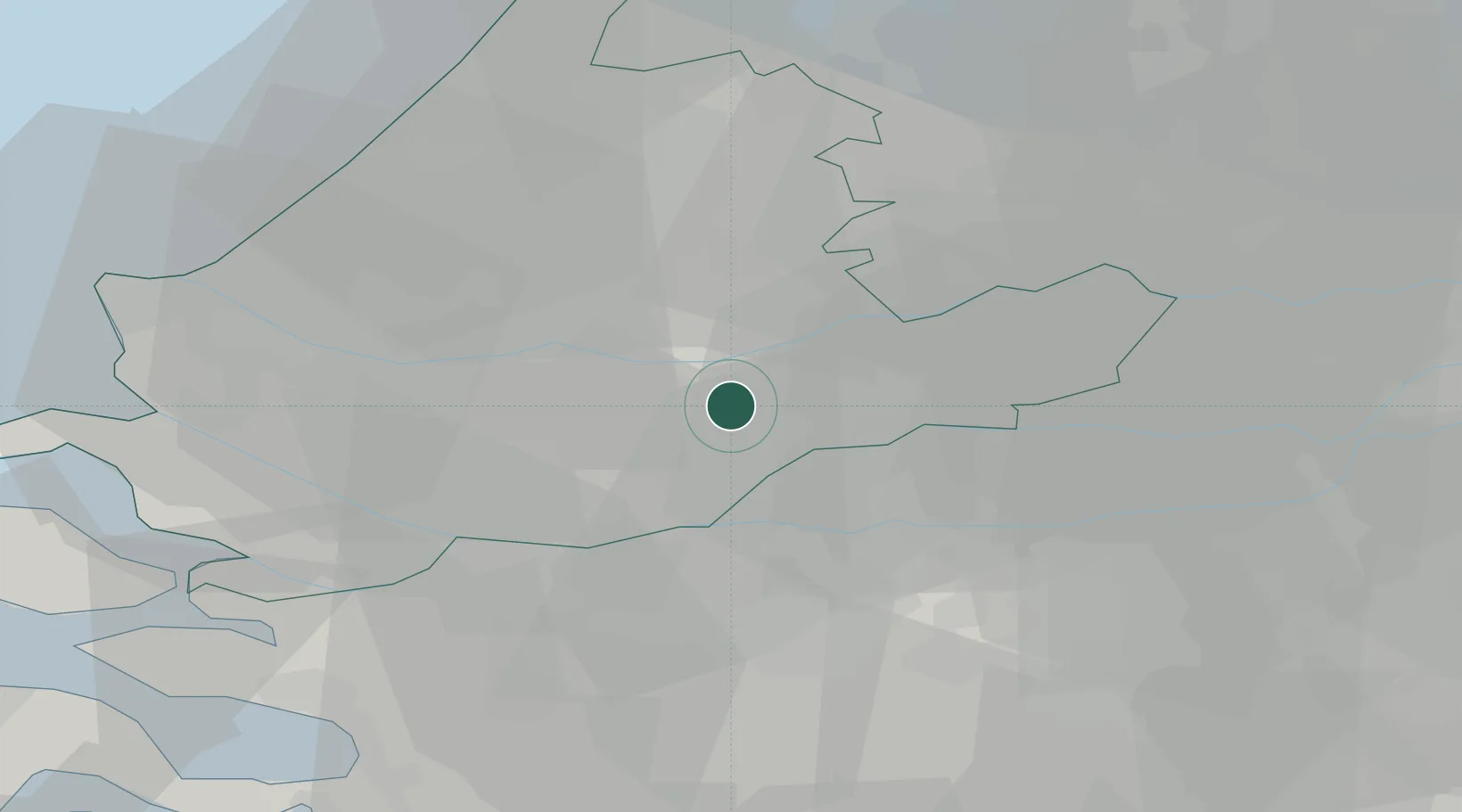
Location
Nearby Logistics Neighbours
Cities
- 1Papendrecht2 km
- 2Hendrik-Ido-Ambacht5 km
- 3Ridderkerk6 km
- 4Sliedrecht6 km
- 5Dordrecht7 km
Ports
- 1Dordrecht5 km
- 2Rotterdam16 km
- 3Schiedam21 km
- 4Vlaardingen25 km
- 5Maassluis32 km
Airports
- 1Rotterdam The Hague Airport22 km
- 2Gilze Rijen Air Base35 km
- 3Woensdrecht Air Base51 km
- 4Amsterdam Airport Schiphol51 km
- 5Eindhoven Airport64 km
Trade Zones
- 1Freeport of Duisburg138 km
- 2Rheinische Revier SWZ157 km
- 3ZFU Tourcoing165 km
- 4ZFU Hem et Roubaix168 km
- 5ZFU Condé sur lEscaut173 km
DatabookThe Record of Consolidated Knowledge
Netherlands beyond logistics?