UN/LOCODE hub · Netherlands
NLOAI
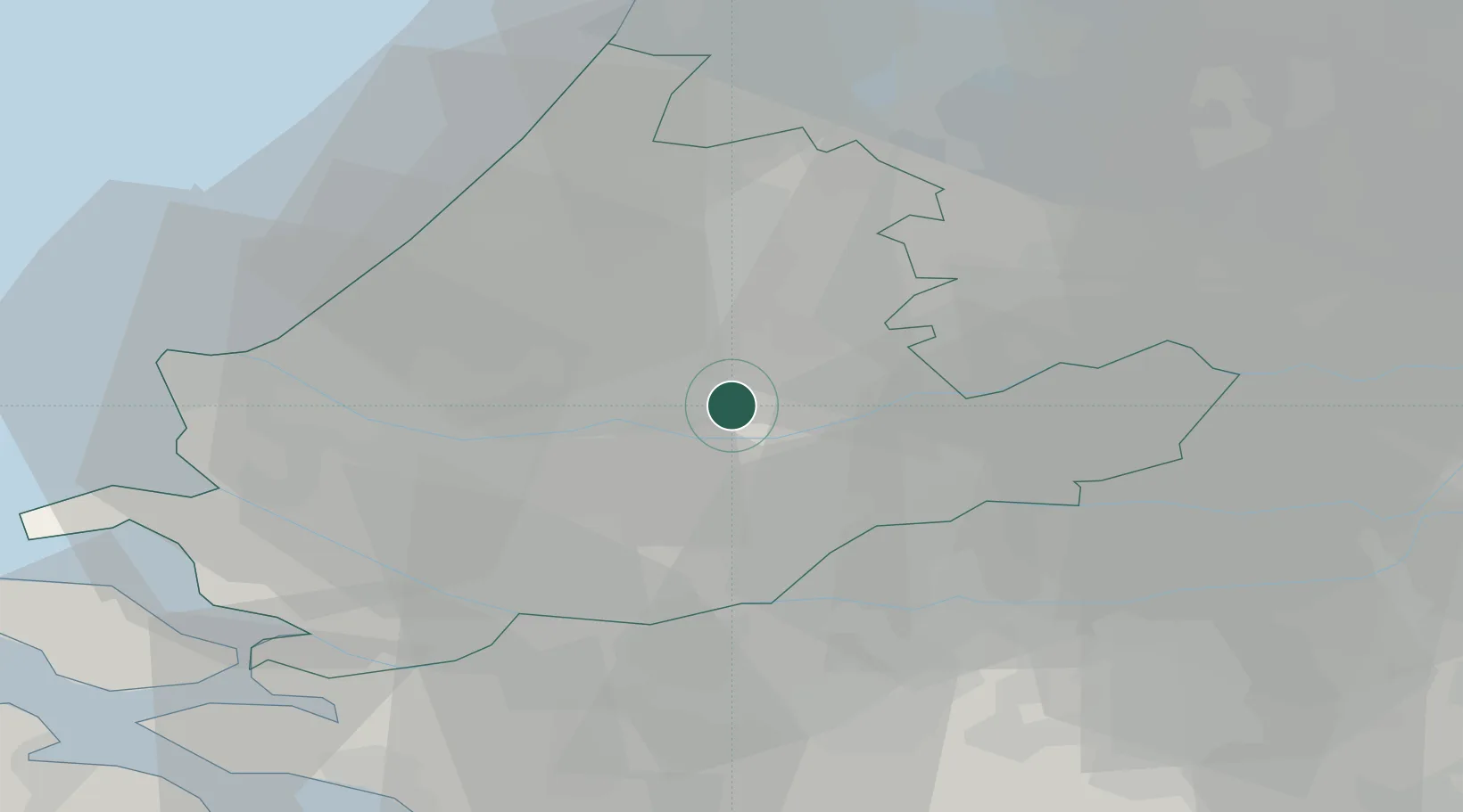
Ouderkerk aan den IJssel
51.9333°, 4.6333°
4,025
Population
2
Transport functions
Transport Functions
Road
Multimodal
Hub Profile
Place type
Populated place
Region
South Holland
Population
4,025
Time zone
Europe/Amsterdam
Elevation
0 m
Location
Nearby Logistics Neighbours
Cities
- 1Krimpen aan den IJssel3 km
- 2Nieuwerkerk aan den IJssel4 km
- 3Groeneweg6 km
- 4Ridderkerk6 km
- 5Streefkerk9 km
Ports
- 1Rotterdam11 km
- 2Dordrecht13 km
- 3Schiedam16 km
- 4Vlaardingen20 km
- 5Maassluis26 km
Airports
- 1Rotterdam The Hague Airport14 km
- 2Amsterdam Airport Schiphol43 km
- 3Gilze Rijen Air Base46 km
- 4Woensdrecht Air Base58 km
- 5Eindhoven Airport74 km
Trade Zones
- 1Freeport of Duisburg145 km
- 2Rheinische Revier SWZ166 km
- 3ZFU Tourcoing169 km
- 4ZFU Hem et Roubaix172 km
- 5ZFU Condé sur lEscaut179 km
DatabookThe Record of Consolidated Knowledge
Netherlands beyond logistics?