UN/LOCODE hub · Netherlands
NLSMG
Sint Michielsgestel
51.6333°, 5.3500°
2,580
Population
2
Transport functions
Transport Functions
Port
Road
Hub Profile
Place type
Populated place
Region
North Brabant
Population
2,580
Time zone
Europe/Amsterdam
Elevation
7 m
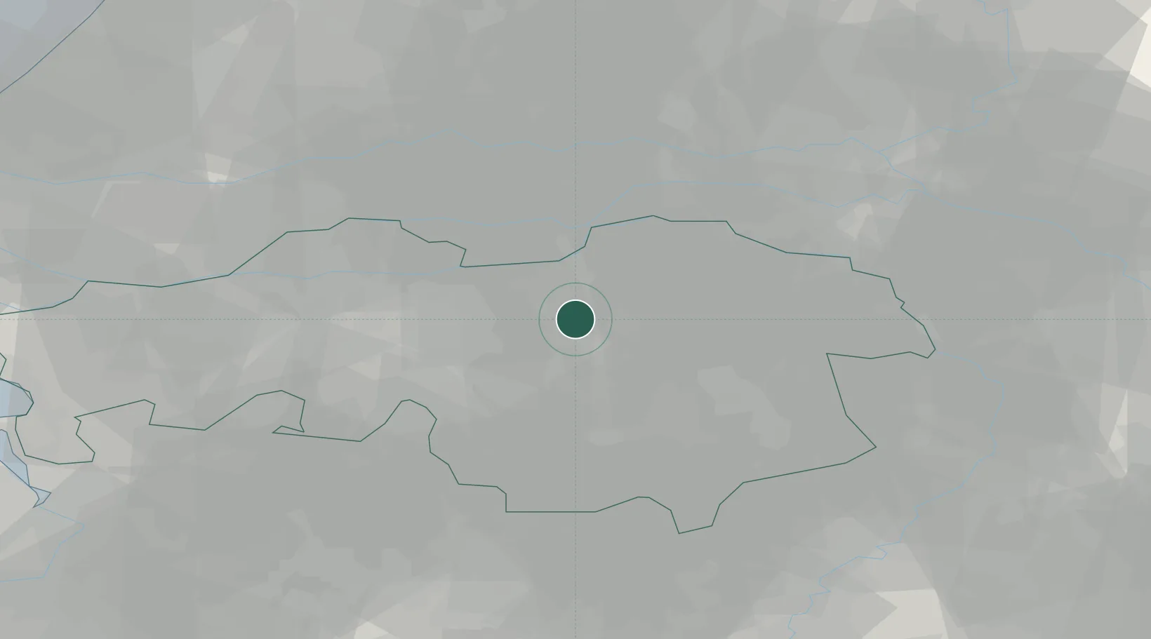
Location
Nearby Logistics Neighbours
Ports
- 1Dordrecht52 km
- 2Rotterdam67 km
- 3Schiedam72 km
- 4Vlaardingen75 km
- 5Antwerpen81 km
Airports
- 1Eindhoven Airport20 km
- 2Volkel Air Base25 km
- 3Gilze Rijen Air Base30 km
- 4Kempen Airport Budel46 km
- 5Kleine Brogel Air Base52 km
Trade Zones
- 1Freeport of Duisburg88 km
- 2Rheinische Revier SWZ108 km
- 3ZFU Condé sur lEscaut180 km
- 4ZFU Maubeuge, Louvroil182 km
- 5ZFU Tourcoing183 km
DatabookThe Record of Consolidated Knowledge
Netherlands beyond logistics?