Transport Functions
Port
Road
Hub Profile
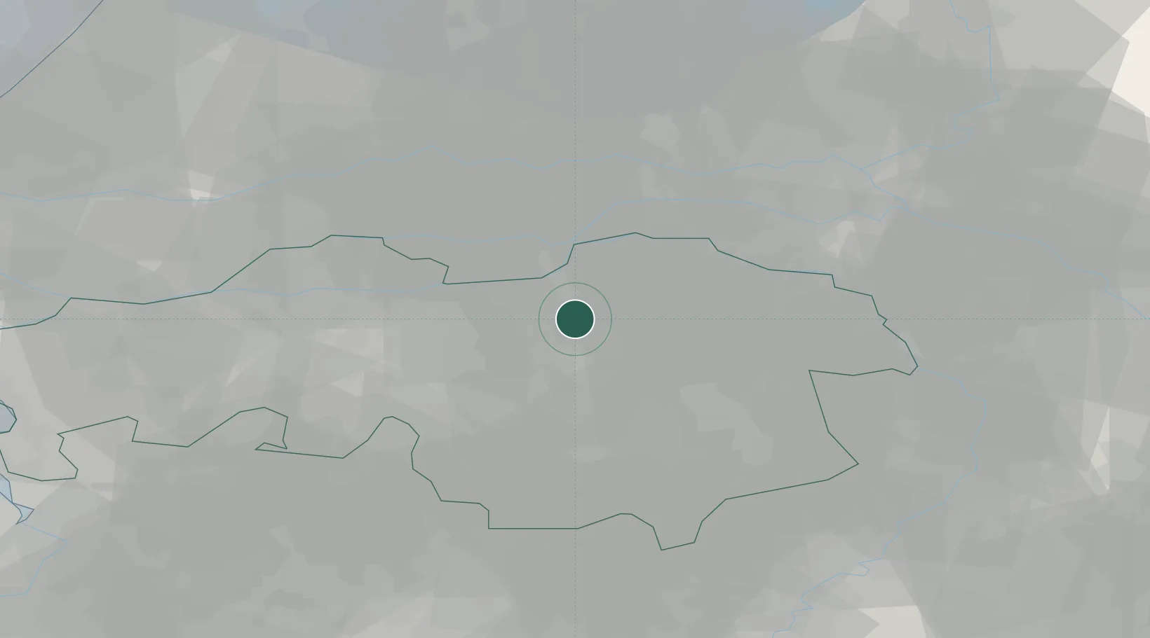
Place type
Populated place
Region
North Brabant
Population
4,250
Time zone
Europe/Amsterdam
Elevation
6 m
Location
Nearby Logistics Neighbours
Cities
- 1Sint Michielsgestel4 km
- 2Herven6 km
- 3Gemonde6 km
- 4Heeswijk6 km
- 5Nuland7 km
Ports
- 1Dordrecht53 km
- 2Rotterdam67 km
- 3Schiedam72 km
- 4Vlaardingen76 km
- 5Maassluis83 km
Airports
- 1Volkel Air Base22 km
- 2Eindhoven Airport24 km
- 3Gilze Rijen Air Base33 km
- 4Kempen Airport Budel48 km
- 5Weeze (Niederrhein) Airport53 km
Trade Zones
- 1Freeport of Duisburg87 km
- 2Rheinische Revier SWZ109 km
- 3ZFU Condé sur lEscaut184 km
- 4ZFU Maubeuge, Louvroil187 km
- 5ZFU Tourcoing187 km
DatabookThe Record of Consolidated Knowledge
Netherlands beyond logistics?