UN/LOCODE hub · Netherlands
NLZBK
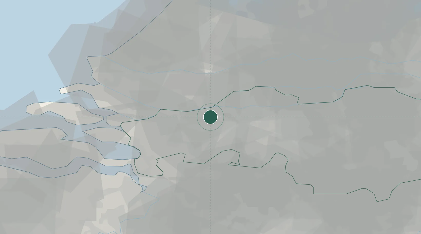
Zevenbergschen Hoek
51.6667°, 4.6667°
1,245
Population
2
Transport functions
Transport Functions
Rail
Road
Hub Profile
Place type
Populated place
Region
North Brabant
Population
1,245
Time zone
Europe/Amsterdam
Elevation
0 m
Location
Nearby Logistics Neighbours
Cities
- 1Langeweg2 km
- 2Wagenberg5 km
- 3Terheijden7 km
- 4Lage Zwaluwe7 km
- 5Moerdijk8 km
Ports
- 1Dordrecht17 km
- 2Rotterdam29 km
- 3Schiedam32 km
- 4Vlaardingen34 km
- 5Maassluis40 km
Airports
Trade Zones
- 1Freeport of Duisburg135 km
- 2Rheinische Revier SWZ146 km
- 3ZFU Tourcoing148 km
- 4ZFU Hem et Roubaix151 km
- 5ZFU Condé sur lEscaut154 km
DatabookThe Record of Consolidated Knowledge
Netherlands beyond logistics?