UN/LOCODE hub · Netherlands
NLMOE
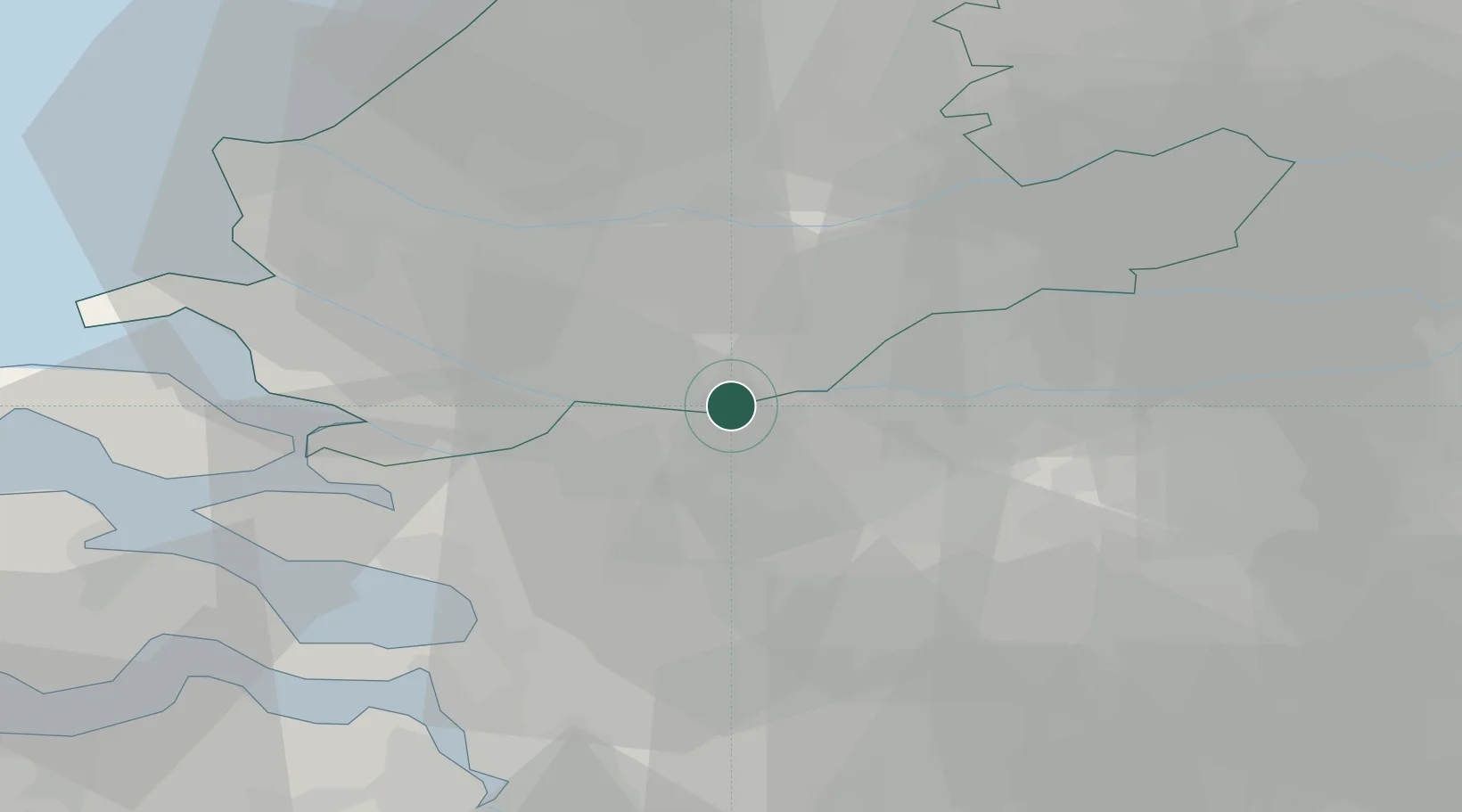
Moerdijk
51.7029°, 4.5722°
1,030
Population
3
Transport functions
1
Container terminals
Transport Functions
Port
Rail
Road
Hub Profile
Place type
Populated place
Region
North Brabant
Population
1,030
Time zone
Europe/Amsterdam
Elevation
1 m
Logistics facilities
9
Container terminals
1
Location
Nearby Logistics Neighbours
Cities
- 1Zevenbergschen Hoek8 km
- 2Langeweg9 km
- 3's-Gravendeel10 km
- 4Standdaarbuiten10 km
- 5Puttershoek11 km
Ports
- 1Dordrecht14 km
- 2Rotterdam23 km
- 3Schiedam25 km
- 4Vlaardingen27 km
- 5Maassluis33 km
Airports
Trade Zones
- 1Freeport of Duisburg142 km
- 2ZFU Tourcoing147 km
- 3ZFU Hem et Roubaix149 km
- 4Rheinische Revier SWZ154 km
- 5ZFU Condé sur lEscaut154 km
DatabookThe Record of Consolidated Knowledge
Netherlands beyond logistics?