UN/LOCODE hub · Netherlands
NLHIA
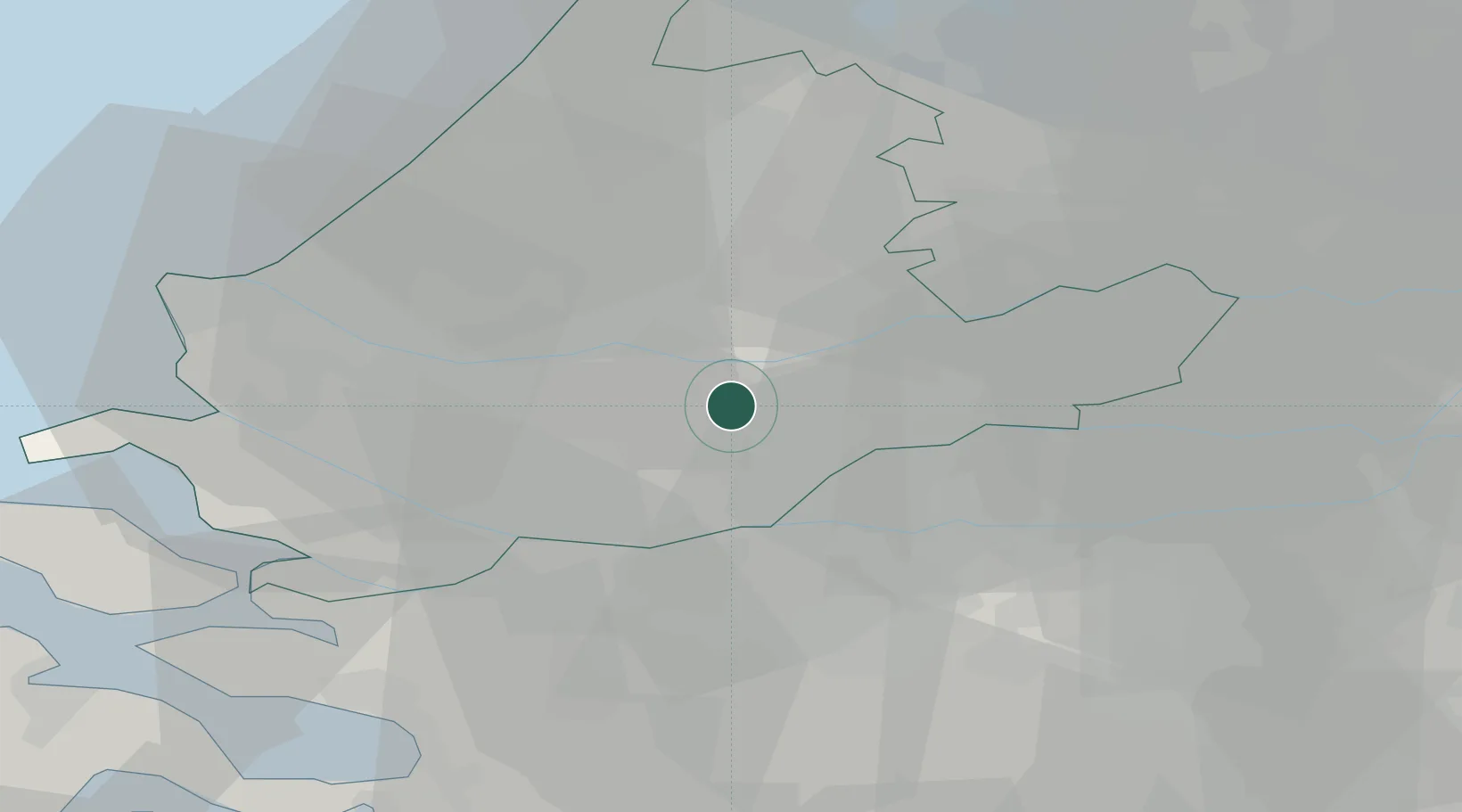
Hendrik-Ido-Ambacht
51.8500°, 4.6333°
21,027
Population
3
Transport functions
Transport Functions
Rail
Road
Multimodal
Hub Profile
Place type
Populated place
Region
South Holland
Population
21,027
Time zone
Europe/Amsterdam
Elevation
-3 m
Location
Nearby Logistics Neighbours
Cities
- 1Papendrecht3 km
- 2Ridderkerk3 km
- 3Oud-Alblas5 km
- 4Dordrecht5 km
- 5's-Gravendeel7 km
Ports
- 1Dordrecht4 km
- 2Rotterdam12 km
- 3Schiedam17 km
- 4Vlaardingen20 km
- 5Maassluis27 km
Airports
- 1Rotterdam The Hague Airport18 km
- 2Gilze Rijen Air Base38 km
- 3Woensdrecht Air Base49 km
- 4Amsterdam Airport Schiphol52 km
- 5Eindhoven Airport68 km
Trade Zones
- 1Freeport of Duisburg142 km
- 2Rheinische Revier SWZ160 km
- 3ZFU Tourcoing162 km
- 4ZFU Hem et Roubaix165 km
- 5ZFU Condé sur lEscaut171 km
DatabookThe Record of Consolidated Knowledge
Netherlands beyond logistics?