UN/LOCODE hub · Netherlands
NLKAI
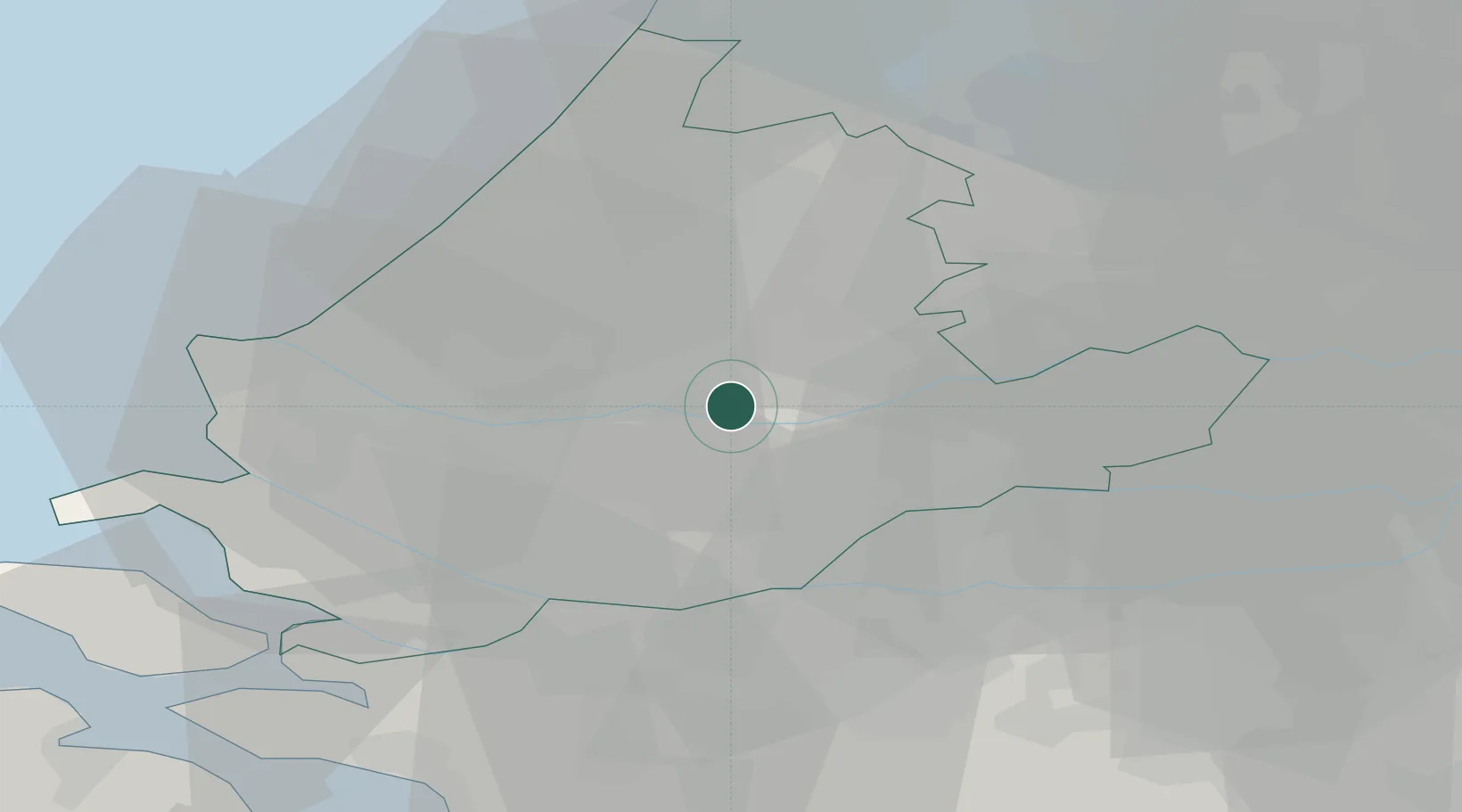
Krimpen aan den IJssel
51.9167°, 4.6000°
29,017
Population
2
Transport functions
Transport Functions
Port
Road
Hub Profile
Place type
Populated place
Region
South Holland
Population
29,017
Time zone
Europe/Amsterdam
Elevation
-1 m
Location
Nearby Logistics Neighbours
Cities
- 1Ouderkerk aan den IJssel3 km
- 2Ridderkerk5 km
- 3Nieuwerkerk aan den IJssel6 km
- 4Groeneweg7 km
- 5Hendrik-Ido-Ambacht8 km
Ports
- 1Rotterdam8 km
- 2Dordrecht12 km
- 3Schiedam14 km
- 4Vlaardingen17 km
- 5Maassluis24 km
Airports
- 1Rotterdam The Hague Airport12 km
- 2Amsterdam Airport Schiphol45 km
- 3Gilze Rijen Air Base45 km
- 4Woensdrecht Air Base55 km
- 5Eindhoven Airport74 km
Trade Zones
- 1Freeport of Duisburg147 km
- 2ZFU Tourcoing166 km
- 3Rheinische Revier SWZ167 km
- 4ZFU Hem et Roubaix169 km
- 5ZFU Condé sur lEscaut176 km
DatabookThe Record of Consolidated Knowledge
Netherlands beyond logistics?