Transport Functions
Multimodal
Hub Profile
Place type
Populated place
Region
Drenthe
Population
4,295
Time zone
Europe/Amsterdam
Elevation
3 m
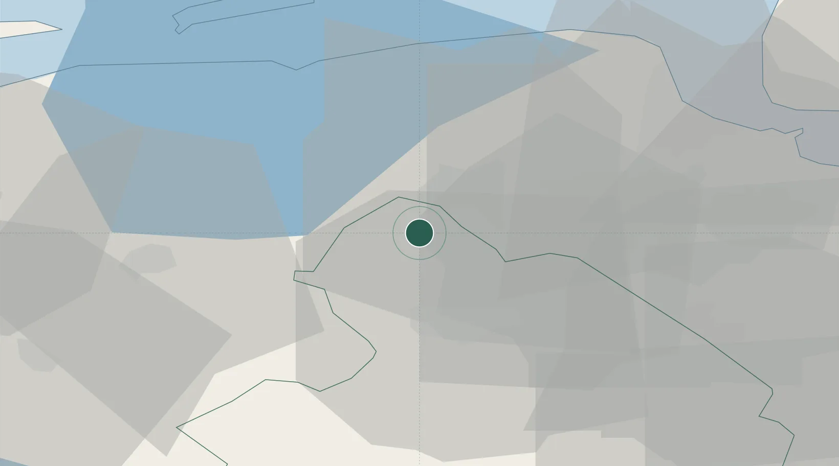
Location
Nearby Logistics Neighbours
Cities
- 1Langelo7 km
- 2Haren7 km
- 3Hoogkerk7 km
- 4Vierverlaten8 km
- 5Waterhuizen11 km
Airports
- 1Groningen Airport Eelde6 km
- 2Leeuwarden Air Base50 km
- 3Borkum Airport52 km
- 4Emden Airport55 km
- 5Juist Airport70 km
Trade Zones
DatabookThe Record of Consolidated Knowledge
Netherlands beyond logistics?