Transport Functions
Port
Road
Hub Profile
Place type
Populated place
Region
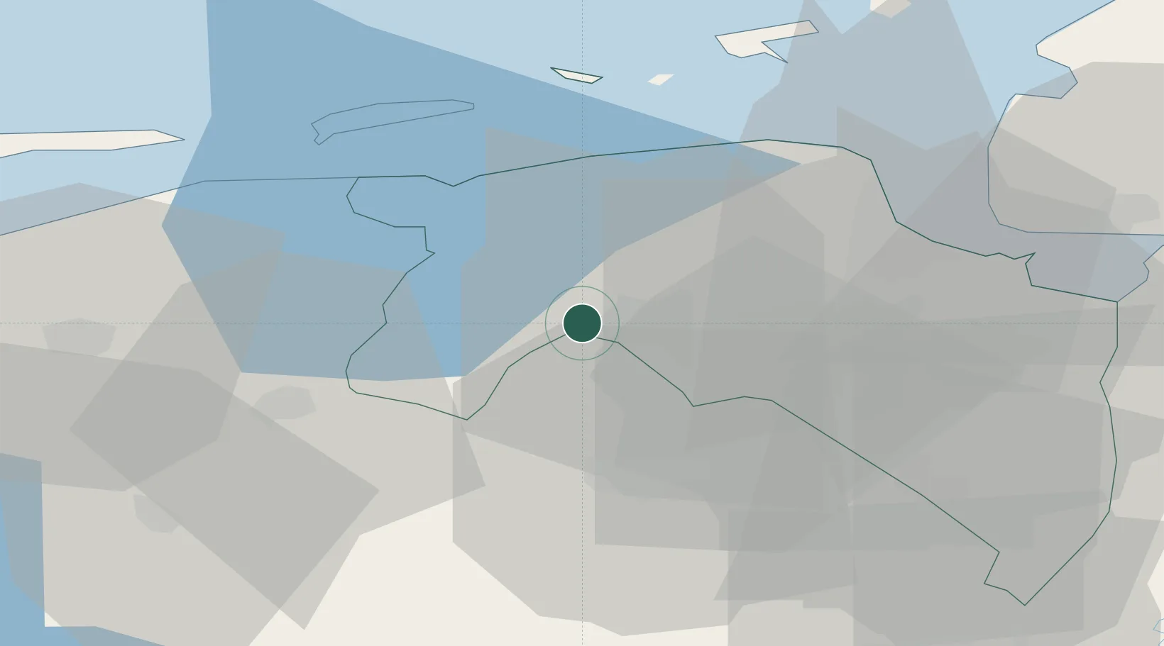
Groningen
Population
130
Time zone
Europe/Amsterdam
Elevation
-2 m
Location
Nearby Logistics Neighbours
Cities
- 1Hoogkerk1 km
- 2Peize8 km
- 3Zuidwolde10 km
- 4Haren10 km
- 5Gaarkeuken12 km
Airports
- 1Groningen Airport Eelde13 km
- 2Borkum Airport45 km
- 3Leeuwarden Air Base48 km
- 4Emden Airport53 km
- 5Juist Airport64 km
Trade Zones
DatabookThe Record of Consolidated Knowledge
Netherlands beyond logistics?