Transport Functions
Port
Road
Hub Profile
Place type
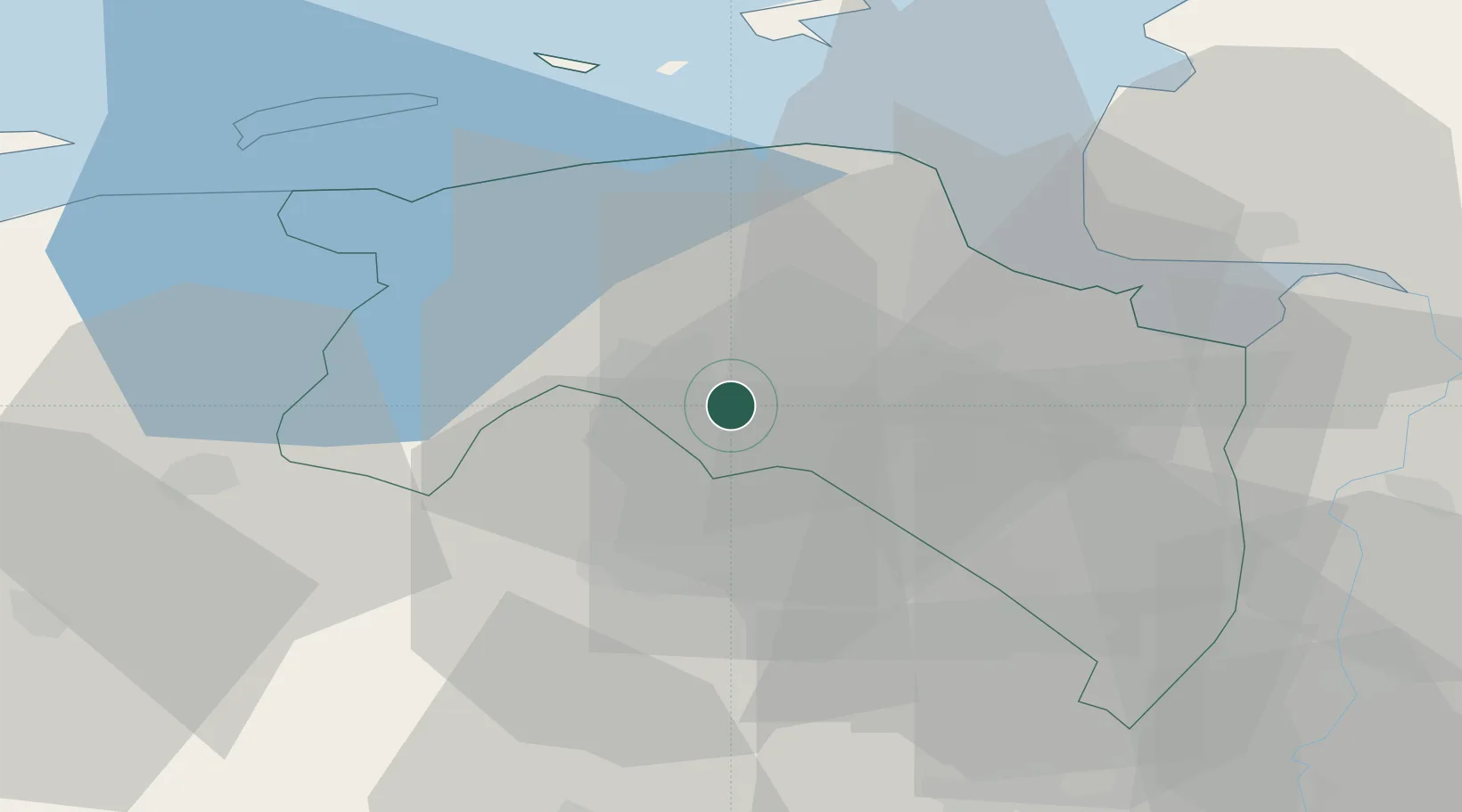
Populated place
Region
Groningen
Time zone
Europe/Amsterdam
Elevation
-1 m
Location
Nearby Logistics Neighbours
Cities
- 1Groningen3 km
- 2Haren4 km
- 3Lageland7 km
- 4Garmerwolde7 km
- 5Zuidlaren10 km
Airports
- 1Groningen Airport Eelde9 km
- 2Emden Airport45 km
- 3Borkum Airport46 km
- 4Leeuwarden Air Base59 km
- 5Norden-Norddeich Airport62 km
Trade Zones
DatabookThe Record of Consolidated Knowledge
Netherlands beyond logistics?