Transport Functions
Multimodal
Hub Profile
Place type
Populated place
Region
Drenthe
Population
195
Time zone
Europe/Amsterdam
Elevation
7 m
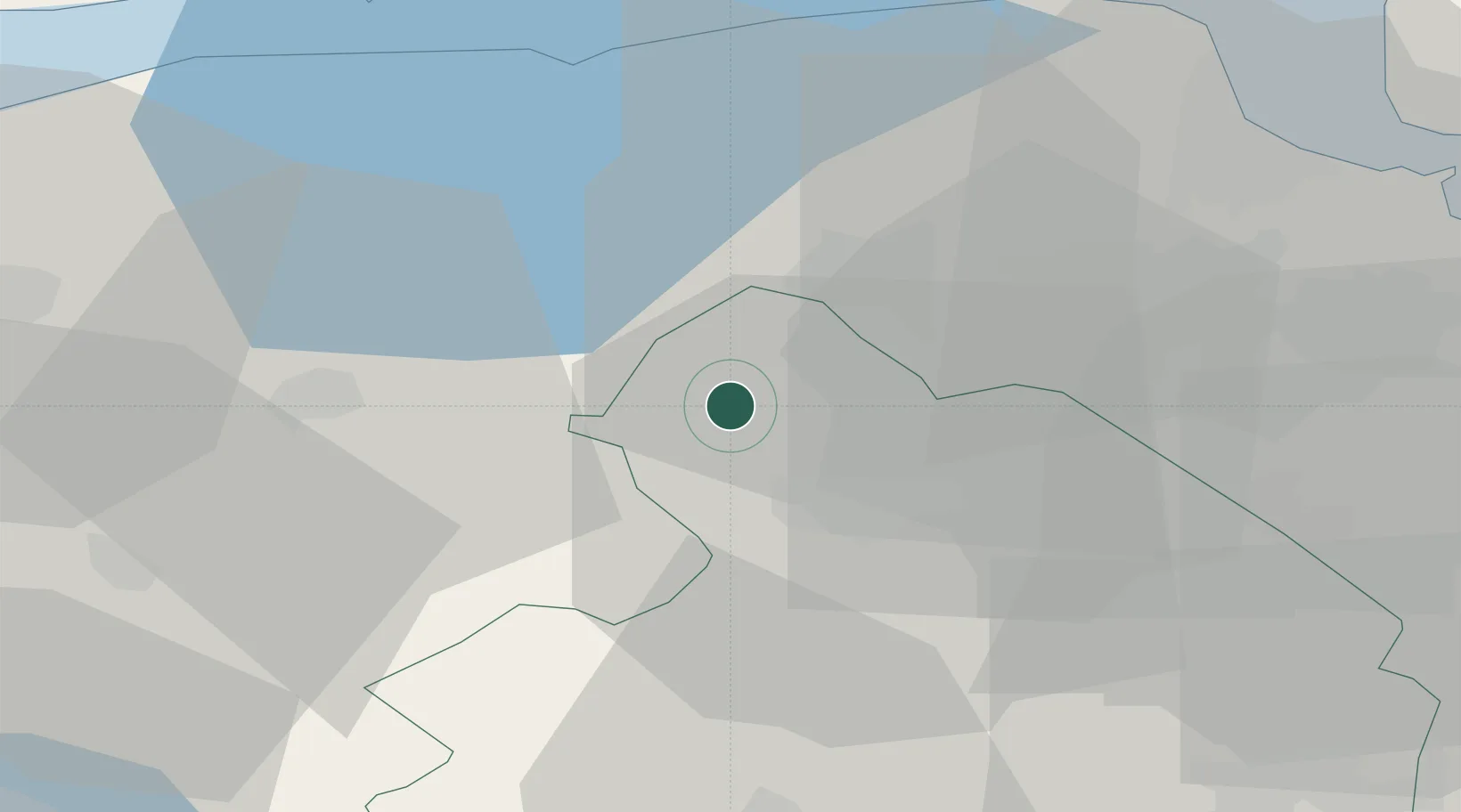
Location
Nearby Logistics Neighbours
Cities
- 1Norg6 km
- 2Peize7 km
- 3Zevenhuizen7 km
- 4Kloosterveen12 km
- 5Haren13 km
Airports
- 1Groningen Airport Eelde9 km
- 2Leeuwarden Air Base48 km
- 3Borkum Airport58 km
- 4Emden Airport61 km
- 5Juist Airport76 km
Trade Zones
DatabookThe Record of Consolidated Knowledge
Netherlands beyond logistics?