Transport Functions
Multimodal
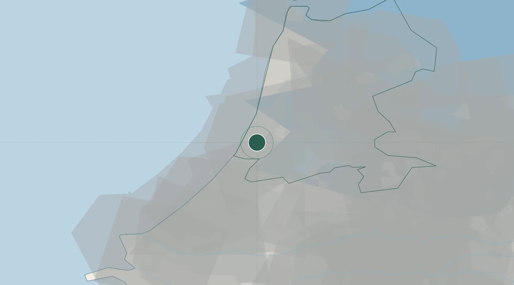
Hub Profile
Place type
Populated place
Region
North Holland
Population
3,685
Time zone
Europe/Amsterdam
Elevation
4 m
Location
Nearby Logistics Neighbours
Cities
- 1Nieuwe Brug5 km
- 2Haarlemmerliede6 km
- 3Zwaanshoek8 km
- 4IJmuiden/Velsen9 km
- 5Velsen10 km
Ports
- 1Ijmuiden9 km
- 2Zaandam17 km
- 3Amsterdam20 km
- 4Scheveningen39 km
- 5Rotterdam54 km
Airports
Trade Zones
- 1Freeport of Duisburg172 km
- 2Freeport of Emden204 km
- 3Rheinische Revier SWZ205 km
- 4ZFU Tourcoing210 km
- 5ZFU Hem et Roubaix213 km
DatabookThe Record of Consolidated Knowledge
Netherlands beyond logistics?