Transport Functions
Port
Road
Hub Profile
Place type
Populated place
Region
South Holland
Time zone
Europe/Amsterdam
Elevation
-7 m
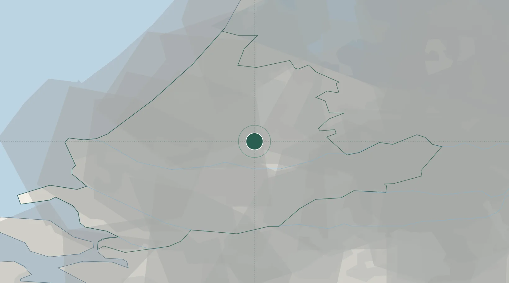
Location
Nearby Logistics Neighbours
Cities
- 1Nieuwerkerk aan den IJssel2 km
- 2Ouderkerk aan den IJssel6 km
- 3Krimpen aan den IJssel7 km
- 4Berkel en Rodenrijs8 km
- 5Ridderkerk12 km
Ports
- 1Rotterdam12 km
- 2Schiedam17 km
- 3Dordrecht19 km
- 4Vlaardingen20 km
- 5Maassluis25 km
Airports
- 1Rotterdam The Hague Airport12 km
- 2Amsterdam Airport Schiphol38 km
- 3Gilze Rijen Air Base52 km
- 4Woensdrecht Air Base62 km
- 5Eindhoven Airport80 km
Trade Zones
- 1Freeport of Duisburg149 km
- 2Rheinische Revier SWZ172 km
- 3ZFU Tourcoing172 km
- 4ZFU Hem et Roubaix175 km
- 5ZFU Condé sur lEscaut183 km
DatabookThe Record of Consolidated Knowledge
Netherlands beyond logistics?