Transport Functions
Port
Multimodal
Hub Profile
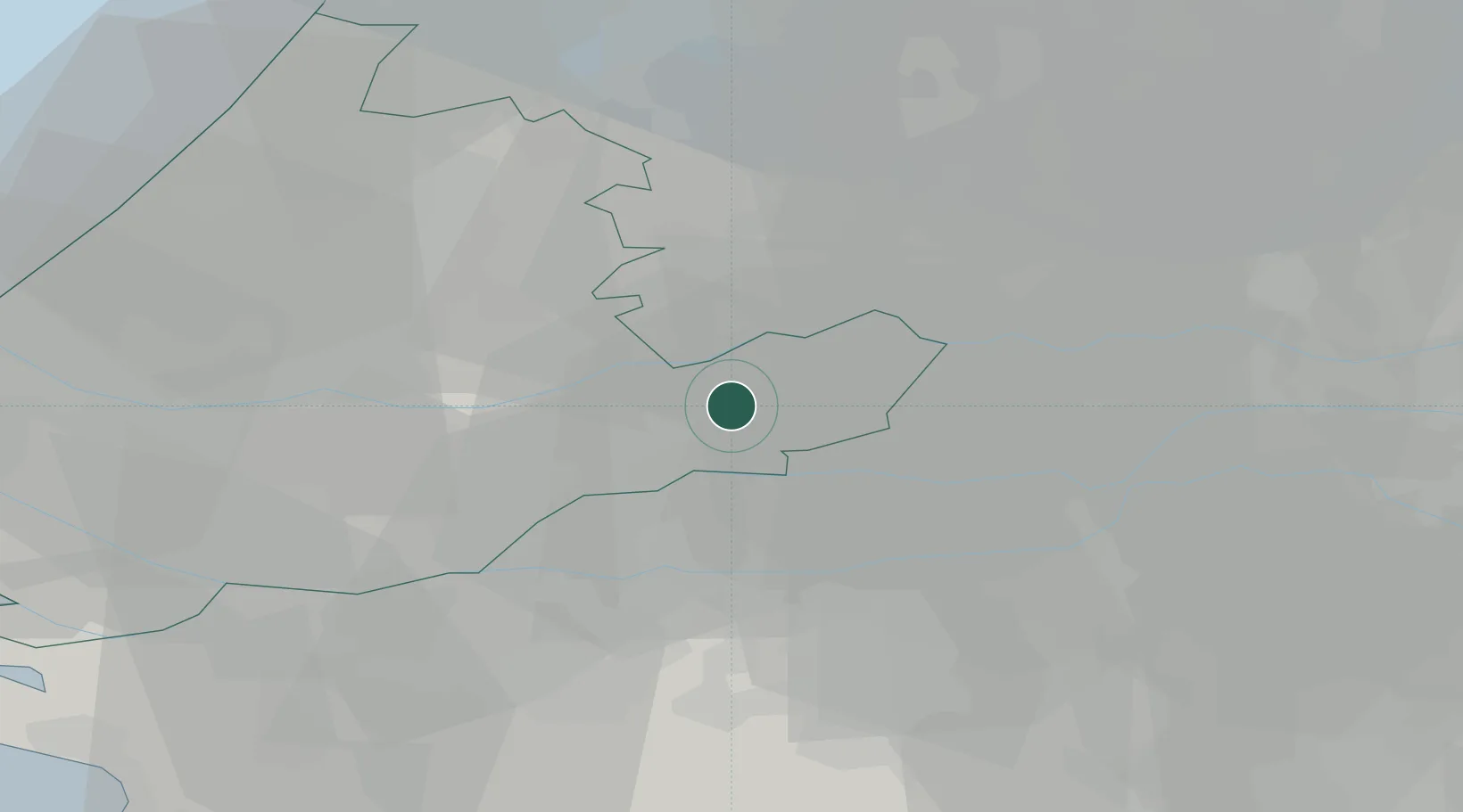
Place type
Populated place
Region
South Holland
Population
1,560
Time zone
Europe/Amsterdam
Elevation
1 m
Location
Nearby Logistics Neighbours
Ports
- 1Dordrecht23 km
- 2Rotterdam32 km
- 3Schiedam38 km
- 4Vlaardingen41 km
- 5Maassluis48 km
Airports
- 1Rotterdam The Hague Airport36 km
- 2Gilze Rijen Air Base37 km
- 3Amsterdam Airport Schiphol47 km
- 4Eindhoven Airport58 km
- 5Volkel Air Base59 km
Trade Zones
- 1Freeport of Duisburg124 km
- 2Rheinische Revier SWZ148 km
- 3ZFU Tourcoing181 km
- 4ZFU Hem et Roubaix183 km
- 5ZFU Condé sur lEscaut186 km
DatabookThe Record of Consolidated Knowledge
Netherlands beyond logistics?