Transport Functions
Port
Rail
Road
Hub Profile
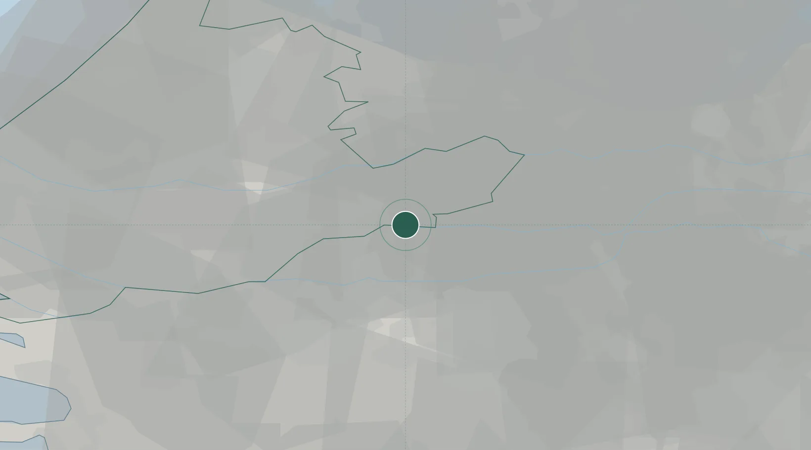
Place type
Populated place
Region
South Holland
Population
34,736
Time zone
Europe/Amsterdam
Elevation
3 m
Logistics facilities
1
Location
Nearby Logistics Neighbours
Cities
- 1Sleeuwijk2 km
- 2Woudrichem4 km
- 3Hardinxveld6 km
- 4Noordeloos8 km
- 5Hardinxveld-Giessendam8 km
Ports
- 1Dordrecht21 km
- 2Rotterdam33 km
- 3Schiedam39 km
- 4Vlaardingen42 km
- 5Maassluis49 km
Airports
- 1Gilze Rijen Air Base29 km
- 2Rotterdam The Hague Airport38 km
- 3Eindhoven Airport51 km
- 4Amsterdam Airport Schiphol55 km
- 5Volkel Air Base56 km
Trade Zones
- 1Freeport of Duisburg121 km
- 2Rheinische Revier SWZ143 km
- 3ZFU Tourcoing175 km
- 4ZFU Hem et Roubaix178 km
- 5ZFU Condé sur lEscaut179 km
DatabookThe Record of Consolidated Knowledge
Netherlands beyond logistics?