Transport Functions
Port
Road
Hub Profile
Place type
Populated place
Region
South Holland
Time zone
Europe/Amsterdam
Elevation
-1 m
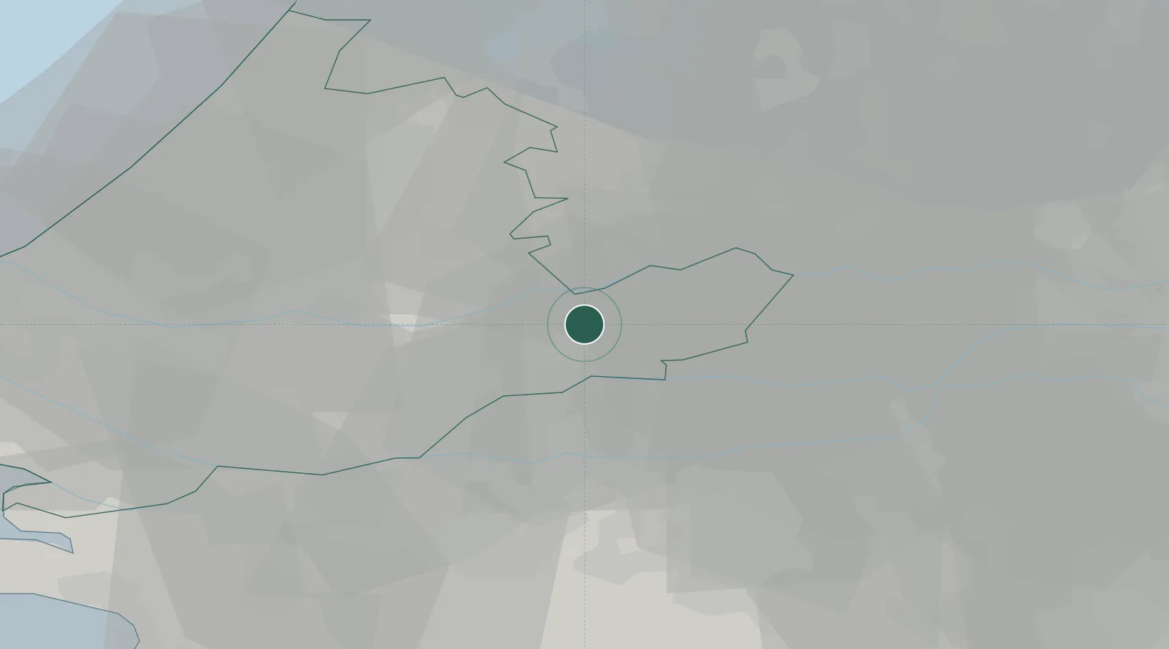
Location
Nearby Logistics Neighbours
Cities
- 1Noordeloos3 km
- 2Groot-Ammers6 km
- 3Nieuwland7 km
- 4Ameide7 km
- 5Gorinchem9 km
Ports
- 1Dordrecht20 km
- 2Rotterdam29 km
- 3Schiedam34 km
- 4Vlaardingen38 km
- 5Maassluis45 km
Airports
- 1Rotterdam The Hague Airport32 km
- 2Gilze Rijen Air Base37 km
- 3Amsterdam Airport Schiphol46 km
- 4Eindhoven Airport60 km
- 5Volkel Air Base62 km
Trade Zones
- 1Freeport of Duisburg127 km
- 2Rheinische Revier SWZ151 km
- 3ZFU Tourcoing178 km
- 4ZFU Hem et Roubaix181 km
- 5ZFU Condé sur lEscaut184 km
DatabookThe Record of Consolidated Knowledge
Netherlands beyond logistics?