Transport Functions
Port
Multimodal
Hub Profile
Place type
Populated place
Region
Gelderland
Time zone
Europe/Amsterdam
Elevation
2 m
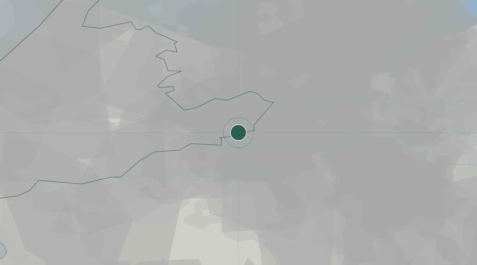
Location
Nearby Logistics Neighbours
Cities
- 1Nieuwland6 km
- 2Woudrichem7 km
- 3Noordeloos9 km
- 4Gorinchem9 km
- 5Poederoijen9 km
Ports
- 1Dordrecht29 km
- 2Rotterdam40 km
- 3Schiedam46 km
- 4Vlaardingen49 km
- 5Maassluis56 km
Airports
- 1Gilze Rijen Air Base35 km
- 2Rotterdam The Hague Airport44 km
- 3Volkel Air Base50 km
- 4Eindhoven Airport51 km
- 5Amsterdam Airport Schiphol53 km
Trade Zones
- 1Freeport of Duisburg115 km
- 2Rheinische Revier SWZ140 km
- 3ZFU Tourcoing184 km
- 4ZFU Hem et Roubaix186 km
- 5ZFU Condé sur lEscaut187 km
DatabookThe Record of Consolidated Knowledge
Netherlands beyond logistics?