Transport Functions
Multimodal
Hub Profile
Place type
Populated place
Region
Utrecht
Population
1,400
Time zone
Europe/Amsterdam
Elevation
1 m
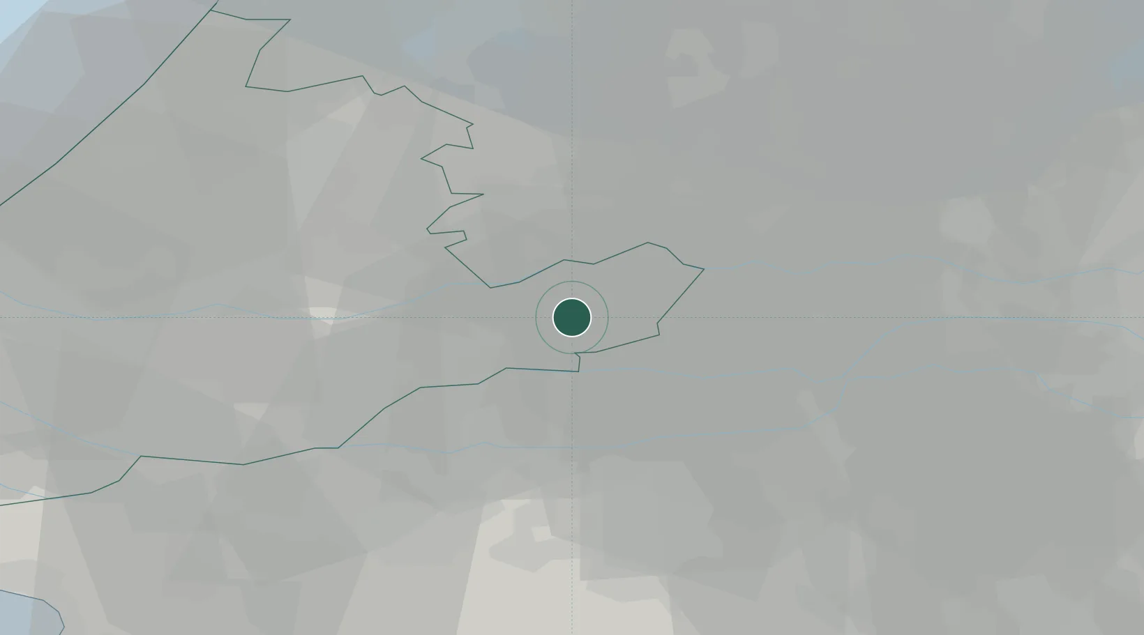
Location
Nearby Logistics Neighbours
Cities
- 1Noordeloos3 km
- 2Heukelum6 km
- 3Ameide6 km
- 4Goudriaan7 km
- 5Gorinchem9 km
Ports
- 1Dordrecht26 km
- 2Rotterdam35 km
- 3Schiedam41 km
- 4Vlaardingen45 km
- 5Maassluis52 km
Airports
- 1Gilze Rijen Air Base37 km
- 2Rotterdam The Hague Airport39 km
- 3Amsterdam Airport Schiphol48 km
- 4Volkel Air Base56 km
- 5Eindhoven Airport56 km
Trade Zones
- 1Freeport of Duisburg121 km
- 2Rheinische Revier SWZ146 km
- 3ZFU Tourcoing183 km
- 4ZFU Hem et Roubaix185 km
- 5ZFU Condé sur lEscaut188 km
DatabookThe Record of Consolidated Knowledge
Netherlands beyond logistics?