Transport Functions
Port
Road
Hub Profile
Place type
Populated place
Region
North Brabant
Time zone
Europe/Amsterdam
Elevation
8 m
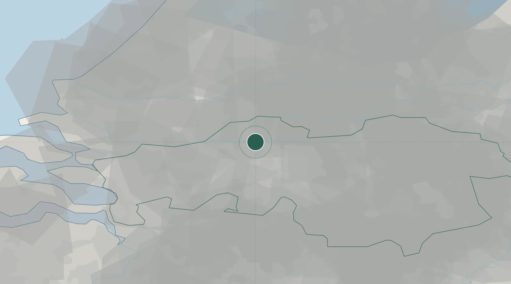
Location
Nearby Logistics Neighbours
Cities
- 1Oosterhout7 km
- 2Oosteind9 km
- 3Waalwijk11 km
- 4Hardinxveld11 km
- 5Lage Zwaluwe12 km
Ports
- 1Dordrecht21 km
- 2Rotterdam35 km
- 3Schiedam40 km
- 4Vlaardingen43 km
- 5Maassluis50 km
Airports
- 1Gilze Rijen Air Base17 km
- 2Rotterdam The Hague Airport42 km
- 3Eindhoven Airport44 km
- 4Woensdrecht Air Base49 km
- 5Volkel Air Base56 km
Trade Zones
- 1Freeport of Duisburg120 km
- 2Rheinische Revier SWZ137 km
- 3ZFU Tourcoing164 km
- 4ZFU Hem et Roubaix166 km
- 5ZFU Condé sur lEscaut167 km
DatabookThe Record of Consolidated Knowledge
Netherlands beyond logistics?