Transport Functions
Port
Road
Hub Profile
Place type
Populated place
Region
North Brabant
Population
53,107
Time zone
Europe/Amsterdam
Elevation
7 m
Logistics facilities
2
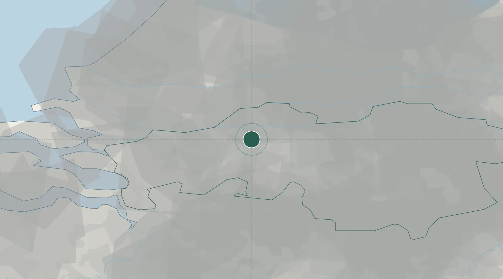
Location
Nearby Logistics Neighbours
Cities
- 1Oosteind5 km
- 2Keizersveer7 km
- 3Terheijden7 km
- 4Teteringen8 km
- 5Wagenberg8 km
Ports
- 1Dordrecht21 km
- 2Rotterdam36 km
- 3Schiedam40 km
- 4Vlaardingen43 km
- 5Maassluis49 km
Airports
Trade Zones
- 1Freeport of Duisburg123 km
- 2Rheinische Revier SWZ136 km
- 3ZFU Tourcoing157 km
- 4ZFU Hem et Roubaix159 km
- 5ZFU Condé sur lEscaut160 km
DatabookThe Record of Consolidated Knowledge
Netherlands beyond logistics?