Transport Functions
Port
Road
Hub Profile
Place type
Populated place
Region
North Brabant
Population
45,610
Time zone
Europe/Amsterdam
Elevation
4 m
Logistics facilities
1
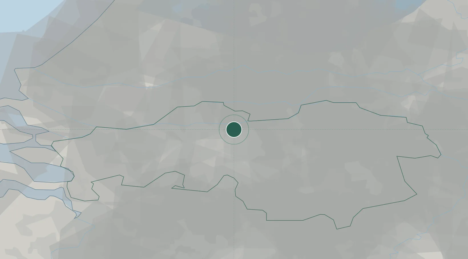
Location
Nearby Logistics Neighbours
Cities
- 1Sprang3 km
- 2Sprang-Capelle3 km
- 3Poederoijen10 km
- 4Veen11 km
- 5Nederhemert11 km
Ports
- 1Dordrecht31 km
- 2Rotterdam46 km
- 3Schiedam51 km
- 4Vlaardingen54 km
- 5Maassluis61 km
Airports
- 1Gilze Rijen Air Base17 km
- 2Eindhoven Airport35 km
- 3Volkel Air Base45 km
- 4Rotterdam The Hague Airport52 km
- 5Woensdrecht Air Base57 km
Trade Zones
- 1Freeport of Duisburg109 km
- 2Rheinische Revier SWZ127 km
- 3ZFU Tourcoing171 km
- 4ZFU Condé sur lEscaut172 km
- 5ZFU Hem et Roubaix173 km
DatabookThe Record of Consolidated Knowledge
Netherlands beyond logistics?