Transport Functions
Port
Road
Hub Profile
Region
ZH
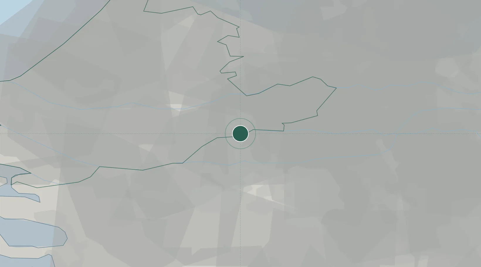
Location
Nearby Logistics Neighbours
Cities
- 1Hardinxveld-Giessendam2 km
- 2Sleeuwijk6 km
- 3Gorinchem6 km
- 4Sliedrecht7 km
- 5Woudrichem9 km
Ports
- 1Dordrecht15 km
- 2Rotterdam28 km
- 3Schiedam33 km
- 4Vlaardingen37 km
- 5Maassluis44 km
Airports
- 1Gilze Rijen Air Base28 km
- 2Rotterdam The Hague Airport33 km
- 3Eindhoven Airport54 km
- 4Woensdrecht Air Base55 km
- 5Amsterdam Airport Schiphol55 km
Trade Zones
- 1Freeport of Duisburg126 km
- 2Rheinische Revier SWZ146 km
- 3ZFU Tourcoing170 km
- 4ZFU Hem et Roubaix172 km
- 5ZFU Condé sur lEscaut175 km
DatabookThe Record of Consolidated Knowledge
Netherlands beyond logistics?