Transport Functions
Port
Road
Hub Profile
Place type
Populated place
Region
North Brabant
Time zone
Europe/Amsterdam
Elevation
1 m
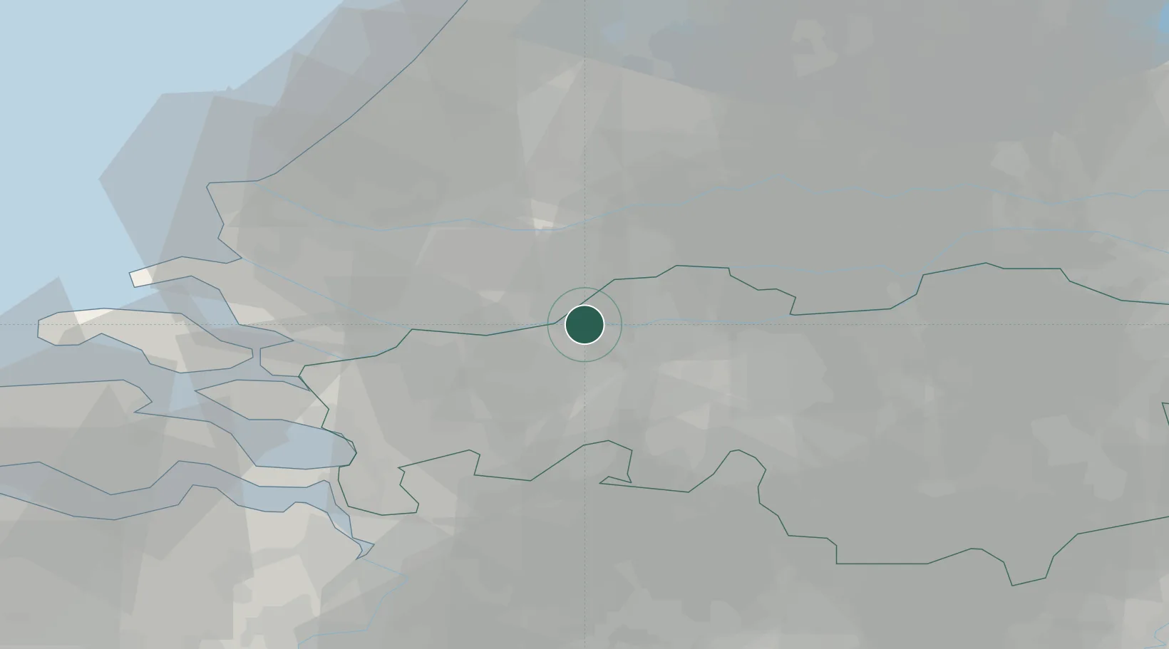
Location
Nearby Logistics Neighbours
Cities
- 1Zevenbergschen Hoek7 km
- 2Wagenberg7 km
- 3Langeweg9 km
- 4Terheijden9 km
- 5Oosterhout9 km
Ports
- 1Dordrecht13 km
- 2Rotterdam27 km
- 3Schiedam31 km
- 4Vlaardingen33 km
- 5Maassluis40 km
Airports
Trade Zones
- 1Freeport of Duisburg132 km
- 2Rheinische Revier SWZ146 km
- 3ZFU Tourcoing156 km
- 4ZFU Hem et Roubaix158 km
- 5ZFU Condé sur lEscaut161 km
DatabookThe Record of Consolidated Knowledge
Netherlands beyond logistics?