Transport Functions
Road
Multimodal
Hub Profile
Place type
Populated place
Region
Gelderland
Population
630
Time zone
Europe/Amsterdam
Elevation
3 m
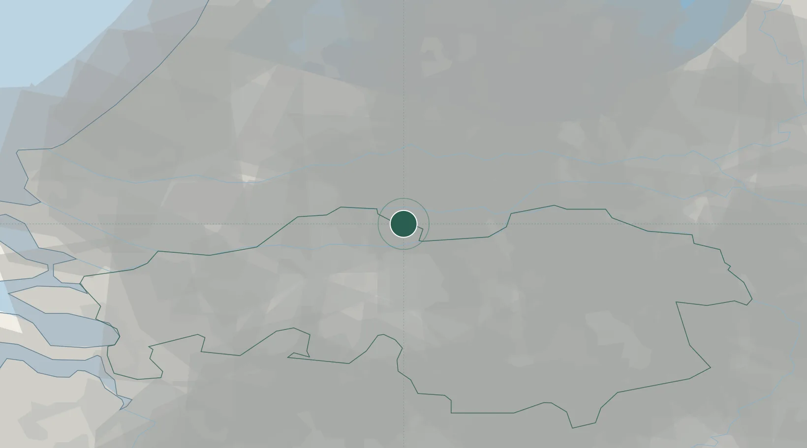
Location
Nearby Logistics Neighbours
Cities
- 1Veen2 km
- 2Esbeek3 km
- 3Nederhemert6 km
- 4Woudrichem7 km
- 5Heukelum9 km
Ports
- 1Dordrecht30 km
- 2Rotterdam43 km
- 3Schiedam49 km
- 4Vlaardingen52 km
- 5Maassluis59 km
Airports
- 1Gilze Rijen Air Base26 km
- 2Eindhoven Airport42 km
- 3Volkel Air Base45 km
- 4Rotterdam The Hague Airport48 km
- 5Deelen Air Base62 km
Trade Zones
- 1Freeport of Duisburg110 km
- 2Rheinische Revier SWZ133 km
- 3ZFU Tourcoing178 km
- 4ZFU Condé sur lEscaut180 km
- 5ZFU Hem et Roubaix181 km
DatabookThe Record of Consolidated Knowledge
Netherlands beyond logistics?