Transport Functions
Rail
Road
Multimodal
Hub Profile
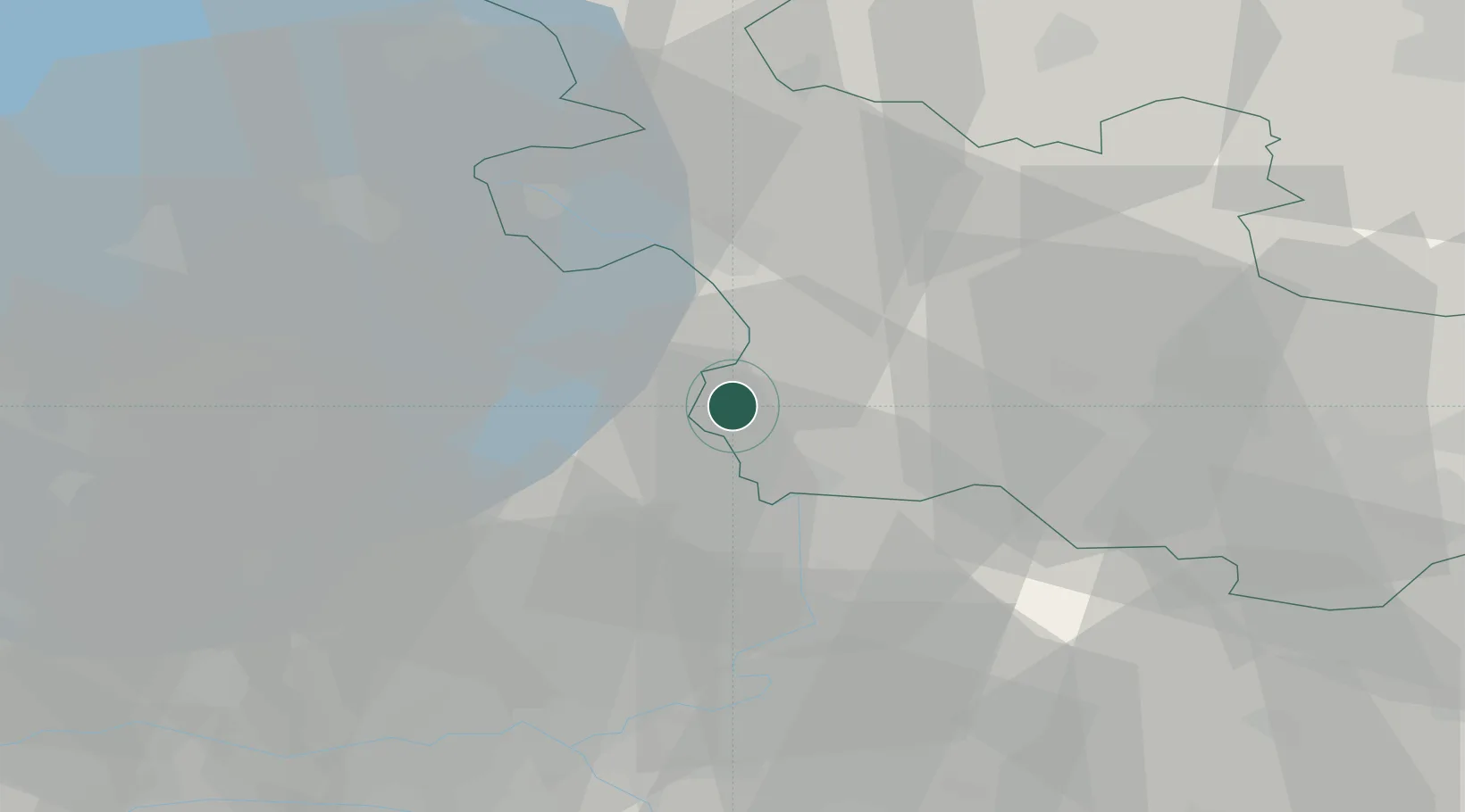
Place type
Populated place
Region
Overijssel
Population
4,780
Time zone
Europe/Amsterdam
Elevation
7 m
Location
Nearby Logistics Neighbours
Cities
- 1Wesepe6 km
- 2Wijnbergen7 km
- 3Heerde8 km
- 4Emst9 km
- 5Lettele12 km
Ports
- 1Amsterdam83 km
- 2Zaandam88 km
- 3Ijmuiden105 km
- 4Harlingen106 km
- 5Den Helder114 km
Airports
- 1Deelen Air Base35 km
- 2Lelystad Airport43 km
- 3Twente Airport53 km
- 4Volkel Air Base80 km
- 5Weeze (Niederrhein) Airport81 km
Trade Zones
DatabookThe Record of Consolidated Knowledge
Netherlands beyond logistics?